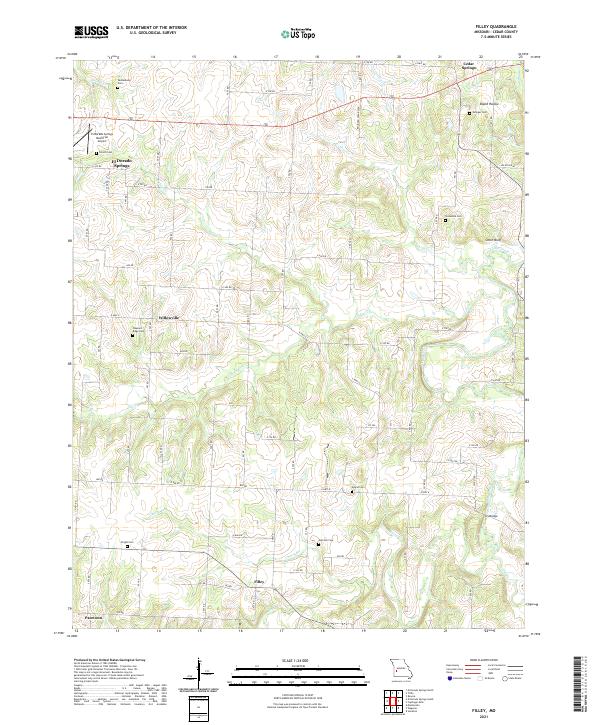
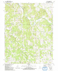
2021 Map of Filley
USGS Topo · Published 2021About this map
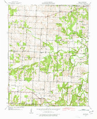
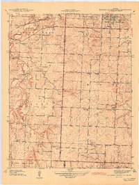
El Dorado Springs and its nearby El Dorado Springs Memorial Airport anchor the northwestern corner of this Cedar County landscape. The region is defined by a dense network of rural family burial grounds, including Vandenburg Cem, French Cem, and Mound Cem, which provide significant value for genealogical research. Smaller communities like Willowville, Filley, and Pacetown are scattered throughout the territory, connected by a systematic grid of county roads that navigate the local hydrology. Drainage patterns are shaped by several major watercourses such as Cedar Creek, Alder Cr, and Horse Cr, which wind through the terrain near landmarks like Smith Bluff and Bland Hollow. The southeastern portion of the map is particularly focused on the riparian environment surrounding the Ivy Bridge crossing.
Find a feature on this map
46 named features on this map. Tap any name to fly to it.
Don’t see what you’re looking for? This feature index may not catch every label — zoom into the map to look around manually.
Map Details
Editions of this 2021 Filley Map
This is the sole edition of this map. No revisions or reprints were ever made.
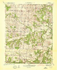
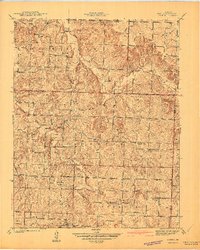
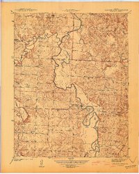
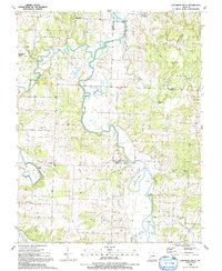
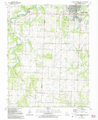
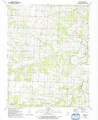
Historical Maps of Pacetown Through Time
22 maps found
1939 Arnica
Cedar County, MO
1939 Caplinger Mills
Cedar County, MO
1939 Eldorado Springs South
Cedar County, MO
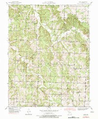
1939 Filley
Cedar County, MO
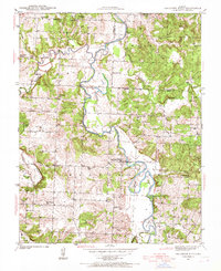
1940 Filley
Cedar County, MO
1941 Arnica
Cedar County, MO
1941 Caplinger Mills
Cedar County, MO
1942 Eldorado Springs South
Cedar County, MO
1956 Bearcreek
Cedar County, MO
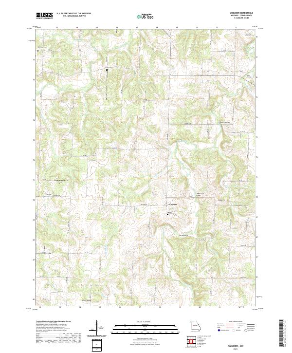
1956 Wagoner
Cedar County, MO
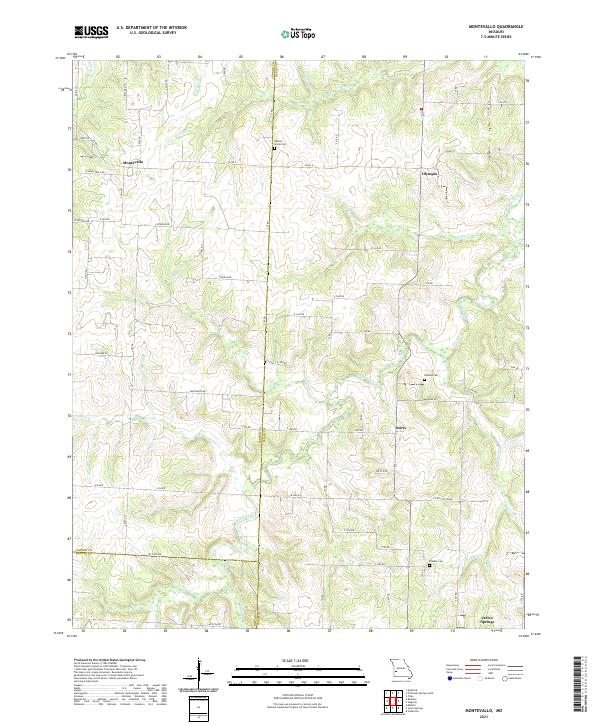
1962 Montevallo
Cedar County, MO
1991 Arnica
Cedar County, MO
1991 Caplinger Mills
Cedar County, MO
1991 El Dorado Springs South
Cedar County, MO
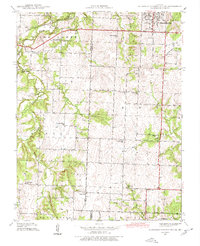
1991 Filley
Cedar County, MO
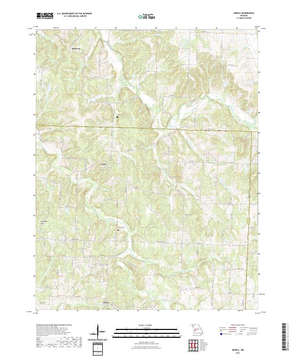
2021 Arnica
Cedar County, MO
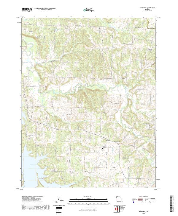
2021 Bearcreek
Cedar County, MO
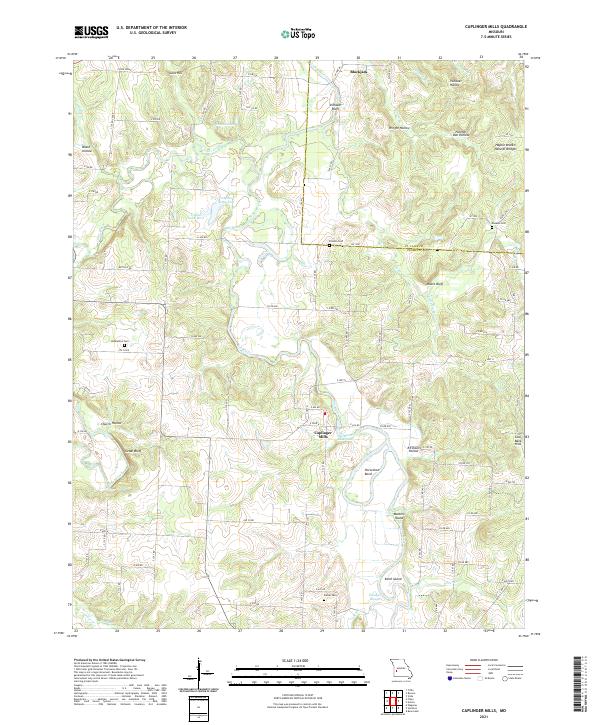
2021 Caplinger Mills
Cedar County, MO
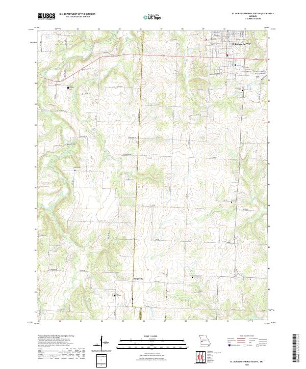
2021 El Dorado Springs South
Cedar County, MO
2021 Filley
Cedar County, MO
2021 Montevallo
Cedar County, MO
2021 Wagoner
Cedar County, MO