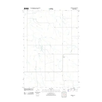
2012 Map of Firesteel
USGS Topo · Published 2012About this map
Firesteel sits at the heart of this rural prairie landscape, a small community defined by its remote location and the winding waterways that cut through the surrounding plains. The geography is dominated by the slow-moving Little Moreau River to the east and Firesteel Cr to the north, creating a natural drainage pattern that dictates the placement of local roads like Co HWY-3. Scattered stock ponds and small basins, including Lake Wilson, dot the terrain between section lines. For local history researchers, the map provides precise placement of Our Savior Cem in the northeast, offering a specific point of reference for family lineage and early settlement patterns in this part of South Dakota. The sparse road network, including routes like Co HWY-3d and Co RD-cs21, reflects the enduring agricultural character of the region in the early twenty-first century.
Find a feature on this map
12 named features on this map. Tap any name to fly to it.
Don’t see what you’re looking for? This feature index may not catch every label — zoom into the map to look around manually.
Map Details
Editions of this 2012 Firesteel Map
This is the sole edition of this map. No revisions or reprints were ever made.
Other maps of this area

1953 · McIntosh
USGS Topo · 1:250,000

1956 · Miscol SW
USGS Topo · 1:24,000

1956 · Black Horse SW
USGS Topo · 1:24,000

1956 · Black Horse SE
USGS Topo · 1:24,000

1958 · McIntosh
USGS Topo · 1:250,000

1978 · Brewer Butte
USGS Topo · 1:24,000

1978 · Isabel SW
USGS Topo · 1:24,000

1978 · Peach Lake
USGS Topo · 1:24,000

1978 · Isabel
USGS Topo · 1:24,000

1978 · Livermant Lake
USGS Topo · 1:24,000