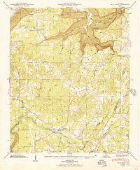
1946 Map of Flat Rock
USGS Topo · Published 1956About this map
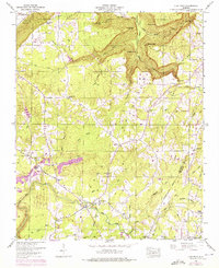
Sand Mountain defines the upland geography of this 1946 field-examined survey, where small rural communities are connected by a network of winding roads like the Caperton Ferry Road. The settlement of Flat Rock serves as a central hub, while smaller clusters at Cameronsville, Christian Home, and Rockbridge dot the plateau. This landscape is characterized by its dramatic escarpments and "gulfs," including the deep incisions of Griffin Gulf and Newby Gulf, which create sharp elevation changes near Kash Bluff.
Find a feature on this map
64 named features on this map. Tap any name to fly to it.
Don’t see what you’re looking for? This feature index may not catch every label — zoom into the map to look around manually.
Map Details
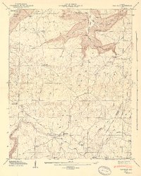
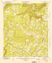
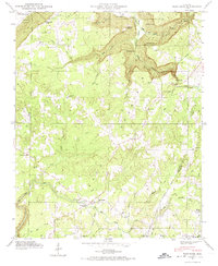
Editions of this 1946 Flat Rock Map
7 editions found
Other maps of this area

1886 · Stevenson
USGS Topo · 1:125,000

1892 · Stevenson
USGS Topo · 1:125,000

1895 · Stevenson
USGS Topo · 1:125,000

1936 · Trenton
USGS Topo · 1:24,000

1936 · Ider
USGS Topo · 1:24,000

1936 · Shellmound
USGS Topo · 1:24,000

1936 · Bridgeport
USGS Topo · 1:24,000

1936 · Flat Rock
USGS Topo · 1:24,000

1936 · Sulphur Springs
USGS Topo · 1:24,000

1936 · Stevenson
USGS Topo · 1:24,000