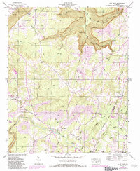
1946 Map of Flat Rock
USGS Topo · Published 1983About this map
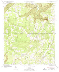
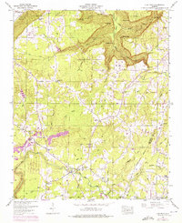
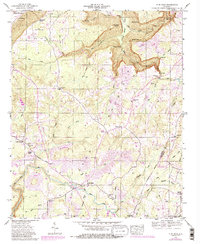
Sand Mountain dominates the landscape of this plateau region, where numerous gulfs and points like Griffin Gulf and O'Neal Point overlook the drainages of Long Creek. The area’s 1940s character is defined by rural settlements like Flat Rock and Cameronsville, connected by historic routes including Caperton Ferry Road. This survey captures the intersection of industrial activity and local heritage, with several strip mines visible across the terrain alongside numerous family and community landmarks. Genealogists will find a dense concentration of local burial grounds and places of worship, including Maxwell Cem, Newby Cem, and Beulah Chapel, providing a clear record of the families established along the Jackson and De Kalb county line.
Find a feature on this map
54 named features on this map. Tap any name to fly to it.
Don’t see what you’re looking for? This feature index may not catch every label — zoom into the map to look around manually.
Map Details
Editions of this 1946 Flat Rock Map
7 editions found
Other maps of this area

1886 · Stevenson
USGS Topo · 1:125,000

1892 · Stevenson
USGS Topo · 1:125,000

1895 · Stevenson
USGS Topo · 1:125,000

1936 · Trenton
USGS Topo · 1:24,000

1936 · Ider
USGS Topo · 1:24,000

1936 · Shellmound
USGS Topo · 1:24,000

1936 · Bridgeport
USGS Topo · 1:24,000

1936 · Flat Rock
USGS Topo · 1:24,000

1936 · Sulphur Springs
USGS Topo · 1:24,000

1936 · Stevenson
USGS Topo · 1:24,000