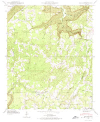
1946 Map of Flat Rock
USGS Topo · Published 1974About this map
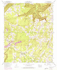
Flat Rock serves as the central hub of this 1946 Tennessee Valley Authority field examination, set atop the plateau of Sand Mountain in Jackson County. The landscape is defined by deep incisions like Griffin Gulf and Musgrove Gulf, where watercourses such as Bryant Creek and Long Creek have carved significant terrain features. The survey highlights a resilient network of rural institutions, from the Christian Home and Liberty Hill Ch to smaller meeting houses like Beulah Chapel. Transportation at mid-century followed the winding Caperton Ferry Road, connecting isolated homesteads to the river valley beyond the bluff line. Genealogists will find a wealth of family landmarks including Maxwell Cem, Swafford Cem, and Pritchett Cem, which anchor the local history of this agricultural community just after the war.
Find a feature on this map
52 named features on this map. Tap any name to fly to it.
Don’t see what you’re looking for? This feature index may not catch every label — zoom into the map to look around manually.
Map Details
Editions of this 1946 Flat Rock Map
7 editions found
Other maps of this area

1886 · Stevenson
USGS Topo · 1:125,000

1892 · Stevenson
USGS Topo · 1:125,000

1895 · Stevenson
USGS Topo · 1:125,000

1936 · Trenton
USGS Topo · 1:24,000

1936 · Ider
USGS Topo · 1:24,000

1936 · Shellmound
USGS Topo · 1:24,000

1936 · Bridgeport
USGS Topo · 1:24,000

1936 · Flat Rock
USGS Topo · 1:24,000

1936 · Sulphur Springs
USGS Topo · 1:24,000

1936 · Stevenson
USGS Topo · 1:24,000