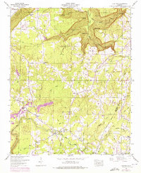
1946 Map of Flat Rock
USGS Topo · Published 1975About this map
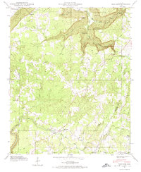
Sand Mountain dominates this landscape on the border of Jackson and DeKalb Counties, where the plateau gives way to the dramatic drainage of Newby Gulf and Griffin Gulf. The 1946 topography reveals a rural community centered on the settlement of Flat Rock, characterized by a network of family-named landmarks and small country churches. The map highlights the area's transition into the Guntersville Reservation along the western edge, where Sulphur Springs and Kash Bluff sit above the river plains. Researchers can trace the Caperton Ferry Road leading toward the Tennessee River, alongside several smaller sites like Overlook Ch and Union Ch. Evidence of local industry appears in the strip mines scattered near the Caperton Ferry area, reflecting the mid-century extraction activities that shaped the local economy before the 1974 photorevisions documented emerging fence lines and woodland changes.
Find a feature on this map
55 named features on this map. Tap any name to fly to it.
Don’t see what you’re looking for? This feature index may not catch every label — zoom into the map to look around manually.
Map Details
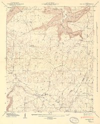
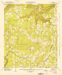
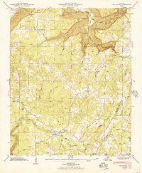
Editions of this 1946 Flat Rock Map
7 editions found
Other maps of this area

1886 · Stevenson
USGS Topo · 1:125,000

1892 · Stevenson
USGS Topo · 1:125,000

1895 · Stevenson
USGS Topo · 1:125,000

1936 · Trenton
USGS Topo · 1:24,000

1936 · Ider
USGS Topo · 1:24,000

1936 · Shellmound
USGS Topo · 1:24,000

1936 · Bridgeport
USGS Topo · 1:24,000

1936 · Flat Rock
USGS Topo · 1:24,000

1936 · Sulphur Springs
USGS Topo · 1:24,000

1936 · Stevenson
USGS Topo · 1:24,000