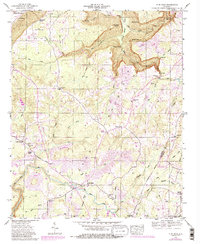
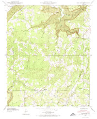
1946 Map of Flat Rock
USGS Topo · Published 1983About this map
Sand Mountain dominates this topographic survey, defining a landscape of high plateaus deeply cut by dramatic drainages like Griffin Gulf and Newby Creek. The settlement of Flat Rock serves as a central point for the upland community, where small family farms and rural churches such as Liberty Hill Ch and Beulah Chapel dot the ridges. Numerous family cemeteries, including Maxwell Cem and Pritchett Cem, provide valuable data for genealogists tracing the early residents of this Jackson County upland.
Find a feature on this map
77 named features on this map. Tap any name to fly to it.
Don’t see what you’re looking for? This feature index may not catch every label — zoom into the map to look around manually.
Map Details
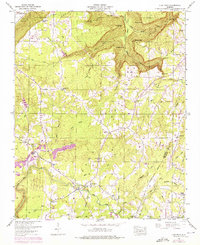
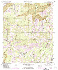
Editions of this 1946 Flat Rock Map
7 editions found
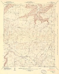
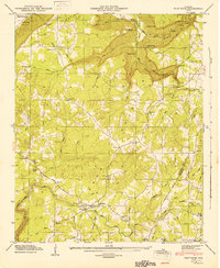
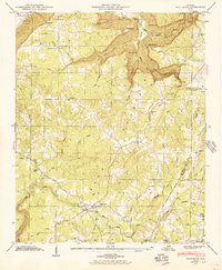
Other maps of this area

1886 · Stevenson
USGS Topo · 1:125,000

1892 · Stevenson
USGS Topo · 1:125,000

1895 · Stevenson
USGS Topo · 1:125,000

1936 · Trenton
USGS Topo · 1:24,000

1936 · Ider
USGS Topo · 1:24,000

1936 · Shellmound
USGS Topo · 1:24,000

1936 · Bridgeport
USGS Topo · 1:24,000

1936 · Flat Rock
USGS Topo · 1:24,000

1936 · Sulphur Springs
USGS Topo · 1:24,000

1936 · Stevenson
USGS Topo · 1:24,000