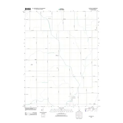
2012 Map of Flatville
USGS Topo · Published 2012About this map
The agrarian landscape of northeastern Champaign County is defined by a sophisticated network of water management systems and small rural settlements. Centered on Flatville, the terrain is etched with engineered waterways such as the Union Drainage Ditch Number 1 and the Stanton Special Drainage Ditch, which channel water toward the Spoon River and the Salt Fork. These drainage projects were essential for transforming the prairie into productive farmland. Small crossroads communities like Sellers and Pauline anchor the grid of country roads, while local history is preserved at the Huls Cem and Kopman Cem. The area’s aviation heritage is also visible through several small-scale facilities, including Rash Airport and the Flessner Landing Field, reflecting the importance of private flight in this open landscape.
Find a feature on this map
34 named features on this map. Tap any name to fly to it.
Don’t see what you’re looking for? This feature index may not catch every label — zoom into the map to look around manually.
Map Details
Editions of this 2012 Flatville Map
This is the sole edition of this map. No revisions or reprints were ever made.
Other maps of this area

1906 · Urbana
USGS Topo · 1:62,500

1924 · Paxton
USGS Topo · 1:62,500

1927 · Paxton
USGS Topo · 1:62,500

1931 · Fithian
USGS Topo · 1:48,000

1936 · Potomac
USGS Topo · 1:62,500

1943 · Fithian
USGS Topo · 1:62,500

1949 · Paxton
USGS Topo · 1:62,500

1953 · Danville
USGS Topo · 1:250,000

1955 · Danville
USGS Topo · 1:250,000

1956 · Danville
USGS Topo · 1:250,000