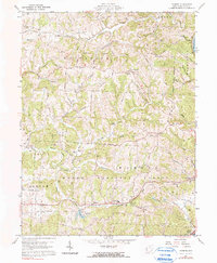
1960 Map of Fleming
USGS Topo · Published 1990About this map
Watertown and Barlow townships characterize this portion of Washington County, defined by a landscape of intricate drainage networks like Rainbow Creek and Turkeyhen Run. The map illustrates the region's agricultural and industrial infrastructure in the mid-20th century, notably the Gas and Oil Field and numerous scattered Gas Wells. Transportation history is visible through the Old Railroad Grade and a Covered Bridge over Halfway Run. Local social life centers on small rural communities like Fleming and Churchtown, where several landmark sites are recorded, including St John Cem, St Johns Sch, and the Township Jr High Sch. Much of the southern terrain is preserved within the Wayne National Forest, emphasizing the transition from working resource land to protected forest.
Find a feature on this map
51 named features on this map. Tap any name to fly to it.
Don’t see what you’re looking for? This feature index may not catch every label — zoom into the map to look around manually.
Map Details
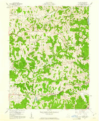
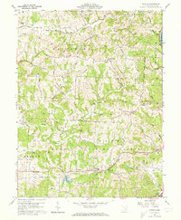
Editions of this 1960 Fleming Map
3 editions found
Other maps of this area

1902 · Parkersburg
USGS Topo · 1:62,500

1903 · Macksburg
USGS Topo · 1:62,500

1904 · Parkersburg
USGS Topo · 1:62,500

1904 · Marietta
USGS Topo · 1:62,500

1905 · Macksburg
USGS Topo · 1:62,500

1909 · Caldwell
USGS Topo · 1:62,500

1912 · Caldwell
USGS Topo · 1:62,500

1924 · Marietta
USGS Topo · 1:62,500

1927 · Marietta
USGS Topo · 1:62,500

1949 · Clarksburg
USGS Topo · 1:250,000