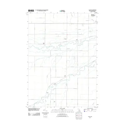
2011 Map of Floyd
USGS Topo · Published 2011About this map
The Chippewa River and Pine River meander through this section of Midland County, defining the drainage patterns and historical development of the region. The landscape reflects a mix of small rural settlements and industrial utility, most notably marked by the Porter Oil Field in the southern portion of the map. Local history and genealogy are centered around the Lee Township Cemetery and Porter Township Cemetery, which serve as anchors for the surrounding communities of Floyd, Porter, and Saint Elmo. The mapping reveals a transition in residential development, from established rural nodes to newer developments like the Whispering Pines Housing Community. Recreational spaces are also evident along the waterways, such as the River Ridge Campground situated near a bend in the Pine River. A dense network of section-line roads, including W Chippewa River Rd and W Pine River Rd, connects these diverse land uses across the river valleys.
Find a feature on this map
50 named features on this map. Tap any name to fly to it.
Don’t see what you’re looking for? This feature index may not catch every label — zoom into the map to look around manually.
Map Details
Editions of this 2011 Floyd Map
This is the sole edition of this map. No revisions or reprints were ever made.
Other maps of this area

1930 · Shepherd
USGS Topo · 1:48,000

1934 · Sanford
USGS Topo · 1:62,500

1934 · Merrill
USGS Topo · 1:62,500

1935 · Alma
USGS Topo · 1:62,500

1936 · Shepherd
USGS Topo · 1:62,500

1936 · Sanford
USGS Topo · 1:62,500

1937 · Merrill
USGS Topo · 1:62,500

1938 · Alma
USGS Topo · 1:62,500

1954 · Midland
USGS Topo · 1:250,000

1958 · Midland
USGS Topo · 1:250,000