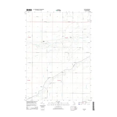
2014 Map of Floyd
USGS Topo · Published 2014About this map
The Chippewa River and Pine River define the hydraulic character of this Midland County landscape, where agricultural drainage systems like the Knapp Cutoff Drain and Baker Drain intersect a grid of section-line roads. Small rural nodes such as Floyd, Saint Elmo, and Porter serve as local anchors within the townships. The land is marked by numerous watercourses including Salt Creek and Prairie Cr, which show the complex natural drainage patterns of the region. Genealogists will find the Lee Township Cem and Porter Township Cem situated near these central settlements. The mapping of Turkey Cr and Sucker Cr reveals the subtle elevation changes that directed early settlement and road placement throughout the early 21st century.
Find a feature on this map
57 named features on this map. Tap any name to fly to it.
Don’t see what you’re looking for? This feature index may not catch every label — zoom into the map to look around manually.
Map Details
Editions of this 2014 Floyd Map
This is the sole edition of this map. No revisions or reprints were ever made.
Other maps of this area

1930 · Shepherd
USGS Topo · 1:48,000

1934 · Sanford
USGS Topo · 1:62,500

1934 · Merrill
USGS Topo · 1:62,500

1935 · Alma
USGS Topo · 1:62,500

1936 · Shepherd
USGS Topo · 1:62,500

1936 · Sanford
USGS Topo · 1:62,500

1937 · Merrill
USGS Topo · 1:62,500

1938 · Alma
USGS Topo · 1:62,500

1954 · Midland
USGS Topo · 1:250,000

1958 · Midland
USGS Topo · 1:250,000