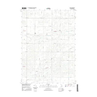
2017 Map of Floyd
USGS Topo · Published 2017About this map
The Chippewa River and Pine River define the hydraulic character of this Midland County landscape, where complex drainage systems like Baker Drain and Knapp Cutoff Drain support the surrounding agricultural tracts. Small communities and historical crossroads such as Floyd, Saint Elmo, and Porter serve as local anchors, while the Lee Township Cem and Porter Township Cem offer specific points of interest for those tracing family history in the region. The map reveals a dense network of country roads, including W Saint Elmo Trce and W Manitou Trl, which weave through the lowlands between Salt Creek and Little Salt Cr. This detailed documentation of the area's tributaries, from Turkey Cr to Sickle Cr, provides a clear view of how water management and settlement patterns have shaped the Midland and Saginaw valley borderlands.
Find a feature on this map
65 named features on this map. Tap any name to fly to it.
Don’t see what you’re looking for? This feature index may not catch every label — zoom into the map to look around manually.
Map Details
Editions of this 2017 Floyd Map
This is the sole edition of this map. No revisions or reprints were ever made.
Other maps of this area

1930 · Shepherd
USGS Topo · 1:48,000

1934 · Sanford
USGS Topo · 1:62,500

1934 · Merrill
USGS Topo · 1:62,500

1935 · Alma
USGS Topo · 1:62,500

1936 · Shepherd
USGS Topo · 1:62,500

1936 · Sanford
USGS Topo · 1:62,500

1937 · Merrill
USGS Topo · 1:62,500

1938 · Alma
USGS Topo · 1:62,500

1954 · Midland
USGS Topo · 1:250,000

1958 · Midland
USGS Topo · 1:250,000