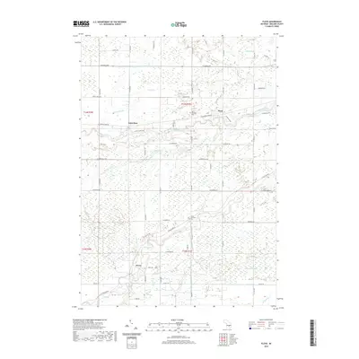
2019 Map of Floyd
USGS Topo · Published 2019About this map
The Chippewa River and Pine River carve through this section of Midland County, defining a landscape of low-lying wetlands and agricultural drainage. Small crossroads communities like Porter, Saint Elmo, and Floyd anchor the local road grid, which is interspersed with significant water management features such as the Knapp-Cutoff Drain and Blue Drain. The presence of the Porter Township Cem and Lee Township Cem provides important focal points for genealogical research in this rural Michigan township.
Find a feature on this map
81 named features on this map. Tap any name to fly to it.
Don’t see what you’re looking for? This feature index may not catch every label — zoom into the map to look around manually.
Map Details
Editions of this 2019 Floyd Map
This is the sole edition of this map. No revisions or reprints were ever made.
Other maps of this area

1930 · Shepherd
USGS Topo · 1:48,000

1934 · Sanford
USGS Topo · 1:62,500

1934 · Merrill
USGS Topo · 1:62,500

1935 · Alma
USGS Topo · 1:62,500

1936 · Shepherd
USGS Topo · 1:62,500

1936 · Sanford
USGS Topo · 1:62,500

1937 · Merrill
USGS Topo · 1:62,500

1938 · Alma
USGS Topo · 1:62,500

1954 · Midland
USGS Topo · 1:250,000

1958 · Midland
USGS Topo · 1:250,000