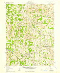
1961 Map of Flushing
USGS Topo · Published 1962About this map
The hills of eastern Ohio in the early 1960s reveal a landscape defined by both established rural settlements and the physical footprints of the extractive economy. The village of Flushing serves as a central hub, while the Baltimore and Ohio RR winds through the southern terrain, connecting the area to regional markets. Numerous Strip Mines are visible throughout the quadrangle, illustrating the significant role of surface mining in shaping the local topography during this era.
Find a feature on this map
33 named features on this map. Tap any name to fly to it.
Don’t see what you’re looking for? This feature index may not catch every label — zoom into the map to look around manually.
Map Details
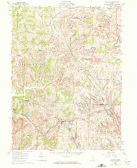
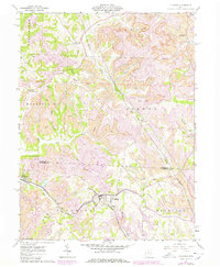
Editions of this 1961 Flushing Map
3 editions found
Other maps of this area

1901 · Cadiz
USGS Topo · 1:62,500

1902 · Scio
USGS Topo · 1:62,500

1903 · Cadiz
USGS Topo · 1:62,500

1903 · Flushing
USGS Topo · 1:62,500

1904 · Scio
USGS Topo · 1:62,500

1905 · St. Clairsville
USGS Topo · 1:62,500

1905 · Flushing
USGS Topo · 1:62,500

1951 · Canton
USGS Topo · 1:250,000

1953 · Canton
USGS Topo · 1:250,000

1957 · Canton
USGS Topo · 1:250,000