
1951 Map of Foreman
USGS Topo · Published 1952About this map
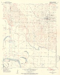
Foreman (New Rocky Comfort) serves as the primary hub of activity in this 1950s survey of the tri-state border region. The landscape is defined by the winding course of the Red River and the complex drainage of Walnut Bayou, which together create a terrain of oxbow lakes like Hamilton Lake and Old River Lake. A series of small rural communities and family cemeteries are scattered across the Jackson and Richland districts, including Lanesport and the Matteson Gin. The presence of numerous country churches, such as Bright Star Ch and Holy Cross Ch, suggests a well-established social fabric tied to the land. The St Louis San Francisco railroad provides the industrial backbone for the region, facilitating movement through a landscape also marked by local landmarks like Lime Rock Hill and John Tom Island.
Find a feature on this map
41 named features on this map. Tap any name to fly to it.
Don’t see what you’re looking for? This feature index may not catch every label — zoom into the map to look around manually.
Map Details
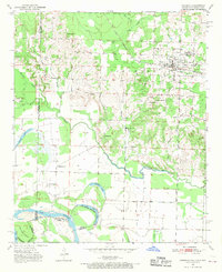
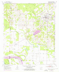
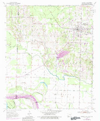
Editions of this 1951 Foreman Map
5 editions found
Other maps of this area

1950 · Redbank
USGS Topo · 1:24,000

1950 · Tom
USGS Topo · 1:24,000

1950 · De Kalb
USGS Topo · 1:24,000

1950 · Winthrop
USGS Topo · 1:24,000

1950 · Bokhoma
USGS Topo · 1:24,000

1951 · De Kalb
USGS Topo · 1:24,000

1951 · Winthrop
USGS Topo · 1:24,000

1951 · Tom
USGS Topo · 1:24,000

1951 · Bokhoma
USGS Topo · 1:24,000

1951 · Redbank
USGS Topo · 1:24,000