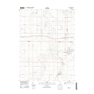
2013 Map of Forest
USGS Topo · Published 2013About this map
The village of Forest serves as a focal point at the junction of Hardin and Wyandot counties, where a grid of local roads like Sandusky St and E Lima St meets the rail corridor of Railroad St. This 2013 survey illustrates a landscape defined by agricultural drainage and small rural settlements, including Patterson and the small siding or locality of MeVitty to the south. Waterways such as the Blanchard River, Ripley Run, and a significant channel known simply as The Outlet dictate the local topography. For genealogists, the map is particularly valuable for its documentation of numerous family and community burial sites, including Earlywine, Adams, Johnson, and Price cemeteries, which are scattered across the township sections. North of Forest, the Forest Field Airport provides a small aviation footprint amidst the vast tracts of farmland that dominate this portion of Ohio.
Find a feature on this map
116 named features on this map. Tap any name to fly to it.
Don’t see what you’re looking for? This feature index may not catch every label — zoom into the map to look around manually.
Map Details
Editions of this 2013 Forest Map
This is the sole edition of this map. No revisions or reprints were ever made.
Other maps of this area

1905 · Arlington
USGS Topo · 1:62,500

1907 · Arlington
USGS Topo · 1:24,000

1907 · Upper Sandusky
USGS Topo · 1:62,500

1915 · Kenton
USGS Topo · 1:62,500

1915 · La Rue
USGS Topo · 1:62,500

1944 · Kenton
USGS Topo · 1:62,500

1950 · Marion
USGS Topo · 1:250,000

1960 · Arlington
USGS Topo · 1:24,000

1960 · Mt Blanchard
USGS Topo · 1:24,000

1960 · Marseilles
USGS Topo · 1:24,000