
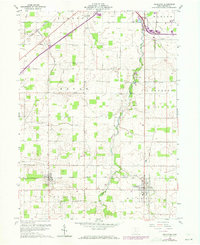
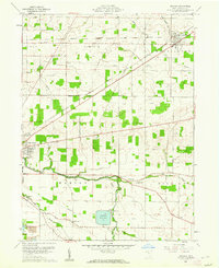
1960 Map of Arlington
USGS Topo · Published 1961About this map
Agricultural lands and rural infrastructure define this 1960 topographic study of southern Hancock County. The landscape is structured around the growing community of Arlington and the smaller settlement of Jenera, both tied to the New York Central railroad corridor. The area's development is characterized by a dense network of family and community landmarks, including several schools and churches like Salem Ch and St Pauls Ch.
Find a feature on this map
32 named features on this map. Tap any name to fly to it.
Don’t see what you’re looking for? This feature index may not catch every label — zoom into the map to look around manually.
Map Details
Editions of this 1960 Arlington Map
4 editions found
Other maps of this area

1903 · Findlay
USGS Topo · 1:62,500

1905 · Arlington
USGS Topo · 1:62,500

1907 · Bluffton
USGS Topo · 1:62,500

1907 · Arlington
USGS Topo · 1:24,000

1950 · Marion
USGS Topo · 1:250,000

1956 · Toledo
USGS Topo · 1:250,000

1960 · Rawson
USGS Topo · 1:24,000
1960 · Findlay
USGS Topo · 1:24,000

1960 · Mt Blanchard
USGS Topo · 1:24,000
1960 · Arcadia
USGS Topo · 1:24,000