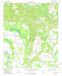
1981 Map of Forester
USGS Topo · Published 1982About this map
Alabama River waters dominate the southern landscape of this 1980s-era survey, where the river forms the boundary between Autauga and Lowndes Counties. The area is defined by the expansive Jones Bluff Lake and Merritt Swamp, while human activity centers around small communities like Booth and Wadsworth. The map documents a blend of agricultural land and managed water features, including Wadsworth Ponds and the clear waters of White Water Creek.
Find a feature on this map
45 named features on this map. Tap any name to fly to it.
Don’t see what you’re looking for? This feature index may not catch every label — zoom into the map to look around manually.
Map Details
Editions of this 1981 Forester Map
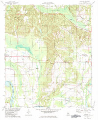
2 editions found
Other maps of this area

1891 · Clanton
USGS Topo · 1:125,000

1901 · Wetumpka
USGS Topo · 1:125,000

1903 · Wetumpka
USGS Topo · 1:125,000

1927 · Montgomery
USGS Topo · 1:48,000

1930 · Montgomery
USGS Topo · 1:62,500

1953 · Montgomery
USGS Topo · 1:250,000

1956 · Montgomery
USGS Topo · 1:250,000

1957 · Montgomery
USGS Topo · 1:250,000

1957 · Autaugaville
USGS Topo · 1:62,500

1958 · Montgomery
USGS Topo · 1:62,500