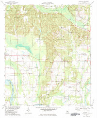
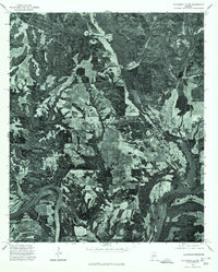
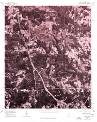
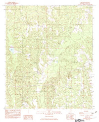
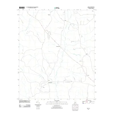
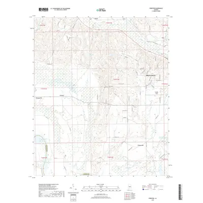
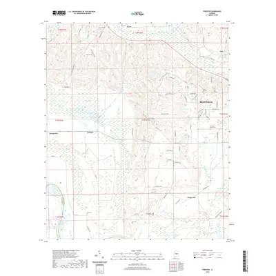
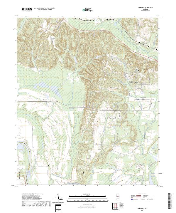
1981 Map of Forester
USGS Topo · Published 1984About this map
Jones-Bluff Lake Alabama River defines the southwestern corner of this landscape, marking the boundary where Lowndes Co and Autauga Co meet. The area is characterized by a high density of rural religious and educational centers, including Autauga Academy and numerous country churches such as Allen Chapel and Peace and Goodwill Ch. These landmarks, alongside family burial sites like DeJarnett Cem and Indian Hill Cem, provide a detailed view of the community's social geography in the early 1980s.
Find a feature on this map
44 named features on this map. Tap any name to fly to it.
Don’t see what you’re looking for? This feature index may not catch every label — zoom into the map to look around manually.
Map Details
Editions of this 1981 Forester Map
2 editions found
Historical Maps of Prattville Through Time
45 maps found
1959 Plantersville
Autauga County, AL
1975 Autaugaville NE
Autauga County, AL
1975 Autaugaville NW
Autauga County, AL
1975 Benton NE
Autauga County, AL
1975 Billingsley SE
Autauga County, AL
1975 Billingsley SW
Autauga County, AL
1975 Elmore SW
Autauga County, AL
1975 Montgomery NW
Autauga County, AL
1975 Plantersville SE
Autauga County, AL
1981 Forester
Autauga County, AL
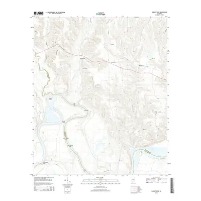
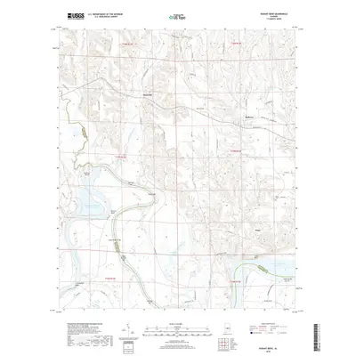
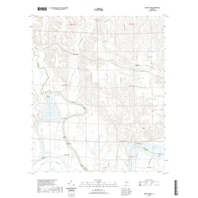
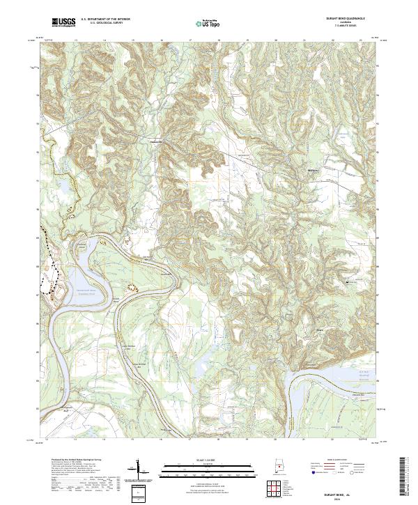
1982 Durant Bend
Autauga County, AL
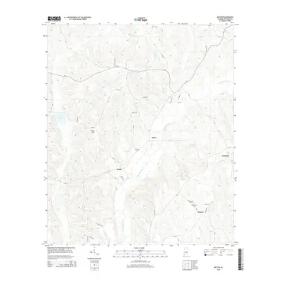
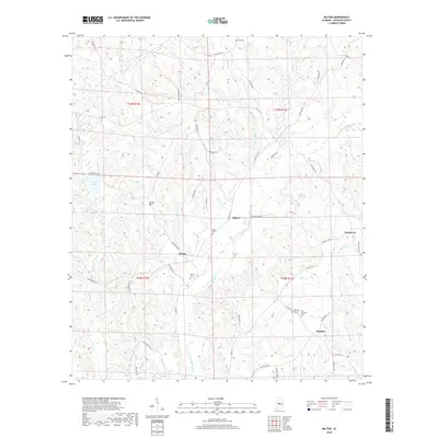
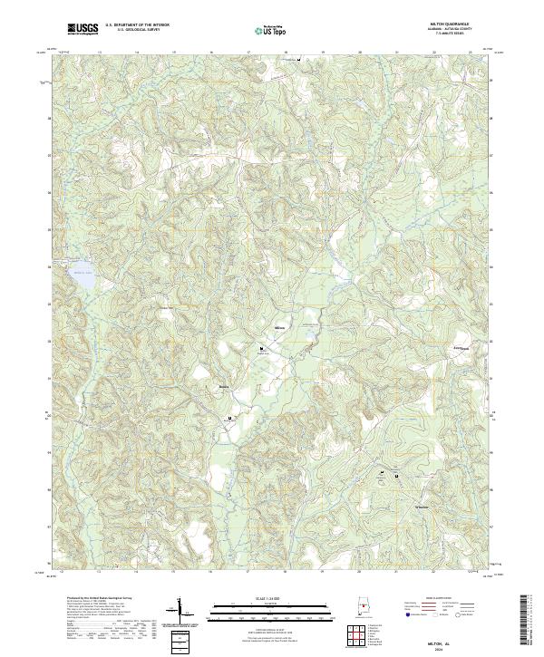
1982 Milton
Autauga County, AL
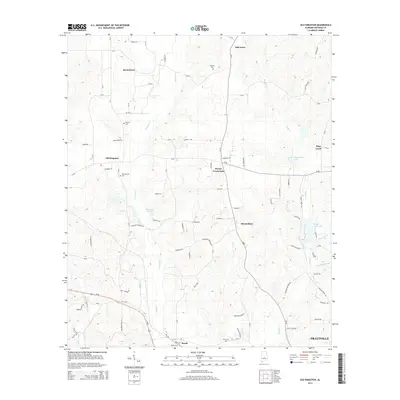
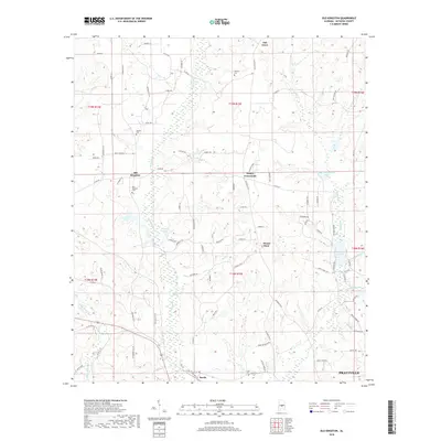
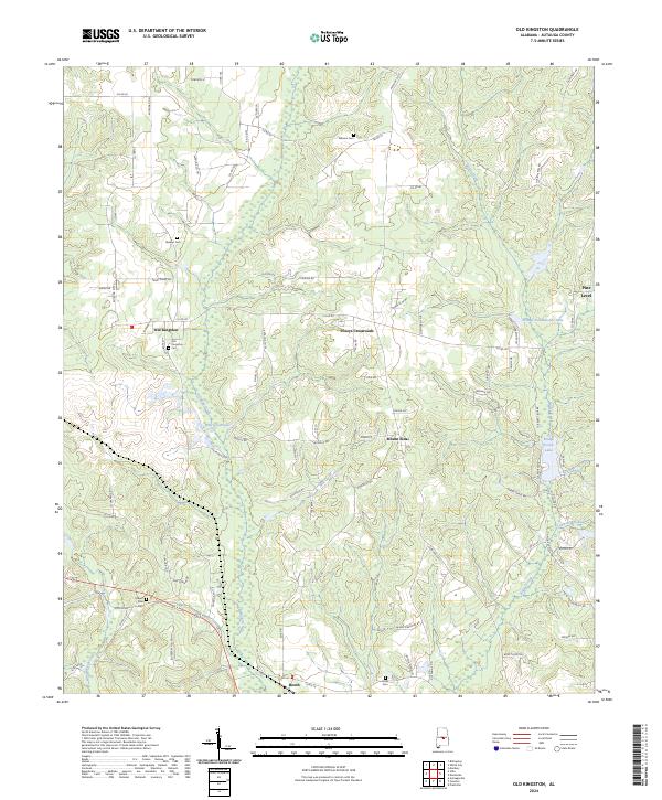
1987 Old Kingston
Autauga County, AL
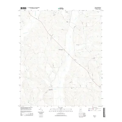
1987 Vida
Autauga County, AL
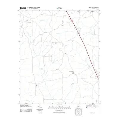
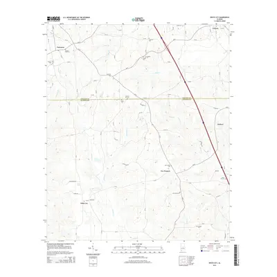
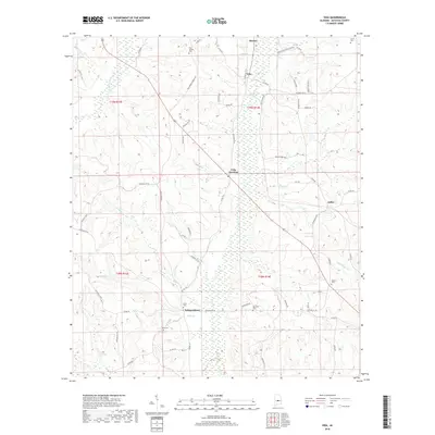
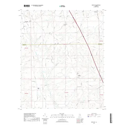
1987 White City
Autauga County, AL
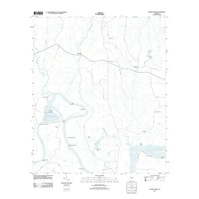
2011 Durant Bend
Autauga County, AL
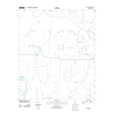
2011 Forester
Autauga County, AL
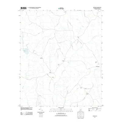
2011 Milton
Autauga County, AL
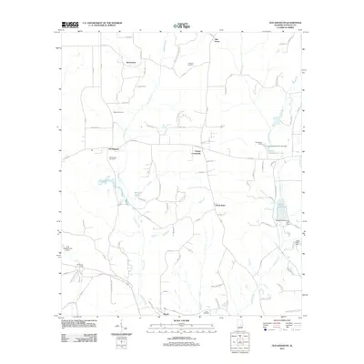
2011 Old Kingston
Autauga County, AL
2011 Vida
Autauga County, AL
2011 White City
Autauga County, AL
2014 Durant Bend
Autauga County, AL
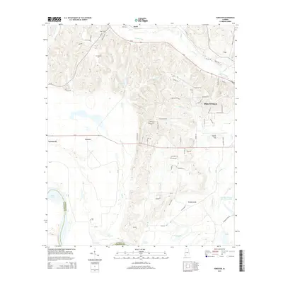
2014 Forester
Autauga County, AL
2014 Milton
Autauga County, AL
2014 Old Kingston
Autauga County, AL
2014 Vida
Autauga County, AL
2014 White City
Autauga County, AL
2018 Durant Bend
Autauga County, AL
2018 Forester
Autauga County, AL
2018 Milton
Autauga County, AL
2018 Old Kingston
Autauga County, AL
2018 Vida
Autauga County, AL
2018 White City
Autauga County, AL
2020 Durant Bend
Autauga County, AL
2020 Forester
Autauga County, AL
2020 Milton
Autauga County, AL
2020 Old Kingston
Autauga County, AL
2020 Vida
Autauga County, AL
2020 White City
Autauga County, AL
2024 Durant Bend
Autauga County, AL
2024 Forester
Autauga County, AL
2024 Milton
Autauga County, AL
2024 Old Kingston
Autauga County, AL
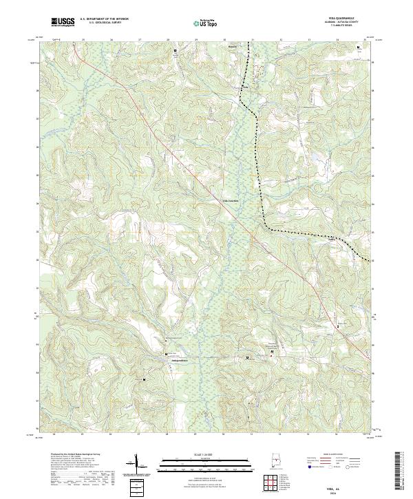
2024 Vida
Autauga County, AL
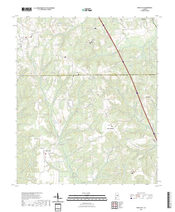
2024 White City
Autauga County, AL