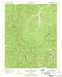
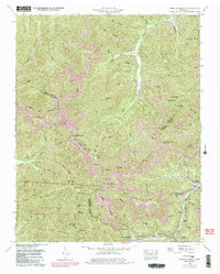
1952 Map of Fork Mountain
USGS Topo · Published 1969About this map
Morgan State Forest covers a significant portion of this landscape, where the borders of Scott, Morgan, Anderson, and Campbell counties meet. The area is defined by the heavy extraction of coal and the infrastructure that once supported it, including a dismantled railroad following Brimstone Creek and an abandoned discontinued incline near the New River. Small coal-mining communities such as Moores Camp, Buffalo, and Fork Mountain are situated along the narrow valley floors.
Find a feature on this map
111 named features on this map. Tap any name to fly to it.
Don’t see what you’re looking for? This feature index may not catch every label — zoom into the map to look around manually.
Map Details
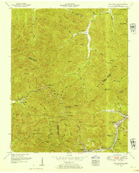
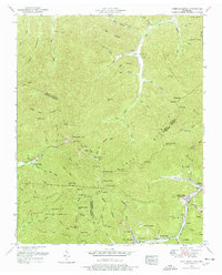
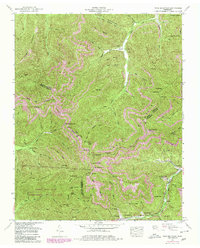
Editions of this 1952 Fork Mountain Map
5 editions found
Other maps of this area

1893 · Briceville
USGS Topo · 1:125,000

1895 · Wartburg
USGS Topo · 1:125,000

1895 · Briceville
USGS Topo · 1:125,000

1896 · Wartburg
USGS Topo · 1:125,000

1896 · Briceville
USGS Topo · 1:125,000

1935 · Gobey
USGS Topo · 1:24,000

1935 · Camp Austin
USGS Topo · 1:24,000

1936 · Hogbell Gap
USGS Topo · 1:24,000

1936 · Block
USGS Topo · 1:24,000

1936 · Duncan Flats
USGS Topo · 1:24,000