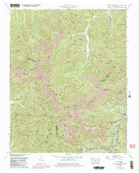
1952 Map of Fork Mountain
USGS Topo · Published 1980About this map
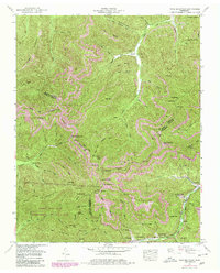
Moores Camp serves as a focal point in this mountainous region at the borders of Scott, Morgan, and Anderson Counties. In the mid-twentieth century, the landscape is defined by the heavy presence of the coal industry, with numerous Strip Mines and an Old Railroad Grade following the winding course of the New River. Small coal-camp settlements like Buffalo and Mahan Village are tucked into the narrow valleys, while the Frozen Head State Environmental Education Area preserves the high ridges of Bird Mountain and Flower Mountain. For genealogists, the map preserves the locations of several remote burial grounds, including the Reeves-Daugherty Cemetery and Beech Grove Cemetery near the Beech Grove Church. The intricate terrain is named through local landmarks like The Garden Spot and Walnut Knob, reflecting a deeply localized geography shaped by resource extraction and high-elevation gaps.
Find a feature on this map
103 named features on this map. Tap any name to fly to it.
Don’t see what you’re looking for? This feature index may not catch every label — zoom into the map to look around manually.
Map Details
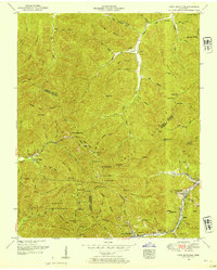
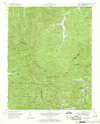
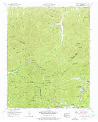
Editions of this 1952 Fork Mountain Map
5 editions found
Other maps of this area

1893 · Briceville
USGS Topo · 1:125,000

1895 · Wartburg
USGS Topo · 1:125,000

1895 · Briceville
USGS Topo · 1:125,000

1896 · Wartburg
USGS Topo · 1:125,000

1896 · Briceville
USGS Topo · 1:125,000

1935 · Gobey
USGS Topo · 1:24,000

1935 · Camp Austin
USGS Topo · 1:24,000

1936 · Hogbell Gap
USGS Topo · 1:24,000

1936 · Block
USGS Topo · 1:24,000

1936 · Duncan Flats
USGS Topo · 1:24,000