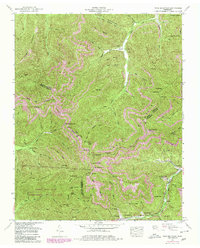
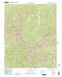
1952 Map of Fork Mountain
USGS Topo · Published 1980About this map
The extractive industries of the Cumberland Plateau dominate this mid-century survey, where the New River and Smoky Creek drain a landscape heavily marked by coal production. Industrial footprints are evident at Moores Camp (Devonia PO) and throughout the многочисленные Strip Mines that scar the ridges of Stallion Mountain and Bird Mountain. The human geography of the era is anchored by small settlements like Mahan Village and Hembree, while a dismantled railway and an old railroad grade near Little Brimstone Creek trace the path of former timber or coal hauling lines.
Find a feature on this map
89 named features on this map. Tap any name to fly to it.
Don’t see what you’re looking for? This feature index may not catch every label — zoom into the map to look around manually.
Map Details
Editions of this 1952 Fork Mountain Map
5 editions found
Other maps of this area

1893 · Briceville
USGS Topo · 1:125,000

1895 · Wartburg
USGS Topo · 1:125,000

1895 · Briceville
USGS Topo · 1:125,000

1896 · Wartburg
USGS Topo · 1:125,000

1896 · Briceville
USGS Topo · 1:125,000

1935 · Gobey
USGS Topo · 1:24,000

1935 · Camp Austin
USGS Topo · 1:24,000

1936 · Hogbell Gap
USGS Topo · 1:24,000

1936 · Block
USGS Topo · 1:24,000

1936 · Duncan Flats
USGS Topo · 1:24,000