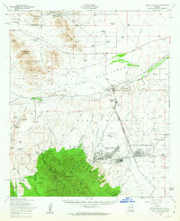
1958 Map of Fort Huachuca
USGS Topo · Published 1963About this map
Fort Huachuca and its military reservation dominate this landscape, anchoring a network of ranches and nascent urban centers during a period of transition in the late 1950s. The map illustrates the early development of Sierra Vista and the neighboring community of Fry, where civic life is marked by the Carmichael School and the Buena School. This region is a complex meeting point of government land and private enterprise, with the Southern Pacific River railroad line traversing the northern plains while the Huachuca Mountains and Mustang Mts rise to the south and west.
Find a feature on this map
89 named features on this map. Tap any name to fly to it.
Don’t see what you’re looking for? This feature index may not catch every label — zoom into the map to look around manually.
Map Details
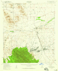
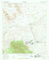
Editions of this 1958 Fort Huachuca Map
3 editions found
Other maps of this area

1904 · Patagonia
USGS Topo · 1:125,000

1905 · Patagonia
USGS Topo · 1:125,000

1905 · Nogales
USGS Topo · 1:125,000

1914 · Hereford
USGS Topo · 1:125,000

1915 · Benson
USGS Topo · 1:125,000

1922 · Sunnyside
USGS Topo · 1:62,500

1922 · St. David
USGS Topo · 1:62,500

1926 · Whetstone
USGS Topo · 1:62,500

1932 · Stark
USGS Topo · 1:62,500

1932 · Fairbank
USGS Topo · 1:62,500