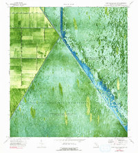
1974 Map of Fort Lauderdale 2 NW
USGS Topo · Published 1991About this map
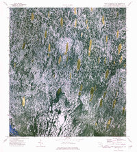
The Loxahatchee National Wildlife Refuge and the Everglades Wildlife Management Area dominate this 1970s orthophotomap of Palm Beach County, showing the intricate management of the Florida wetlands. The transition between managed agricultural lands and the wilder conservation areas is sharply defined by engineering works like Levee 39 and the Hillsboro Canal. Infrastructure critical to the regional water control system is visible, including Pumping Sta No 6 and multiple locations marked as Gaging Sta. Within the wetlands, an Airboat Trail cuts through the marsh, indicating the primary method of navigation in these periodically impounded waters. The map provides a photographic record of the landscape of Browns Farm Wildlife Management Area before modern development or environmental shifts altered the reach of the northern Everglades.
Find a feature on this map
14 named features on this map. Tap any name to fly to it.
Don’t see what you’re looking for? This feature index may not catch every label — zoom into the map to look around manually.
Map Details
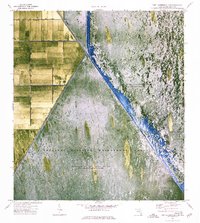
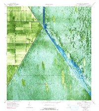
Editions of this 1974 Fort Lauderdale 2 NW Map
3 editions found
Other maps of this area

1956 · West Palm Beach
USGS Topo · 1:250,000

1957 · West Palm Beach
USGS Topo · 1:250,000

1958 · West Palm Beach
USGS Topo · 1:250,000

1963 · Fort Lauderdale 2 SE
USGS Topo · 1:24,000
1970 · Loxahatchee SE
USGS Topo · 1:24,000

1970 · Loxahatchee SW
USGS Topo · 1:24,000

1970 · Shawano
USGS Topo · 1:24,000
1973 · Fort Lauderdale 2 NE
USGS Topo · 1:24,000

1973 · Fort Lauderdale 2 SW
USGS Topo · 1:24,000

1974 · Everglades 1 SE
USGS Topo · 1:24,000