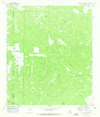
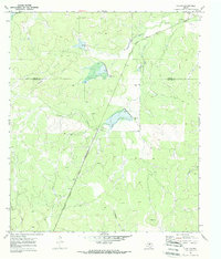
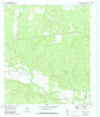
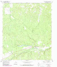
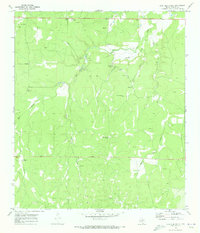
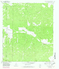
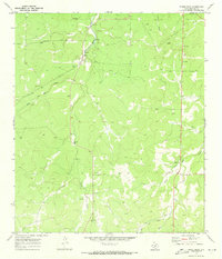
1970 Map of Fort McKavett NE
USGS Topo · Published 1973This historical map portrays the area of Fort McKavett NE in 1970, primarily covering Menard County as well as portions of Schleicher County. Featuring a scale of 1:24000, this map provides a highly detailed snapshot of the terrain, roads, buildings, counties, and historical landmarks in the Fort McKavett NE region at the time. Published in 1973, it is one of 2 known editions of this map due to revisions or reprints.
Find a feature on this map
14 named features on this map. Tap any name to fly to it.
Don’t see what you’re looking for? This feature index may not catch every label — zoom into the map to look around manually.
Map Details
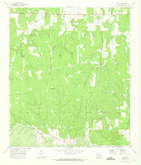
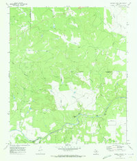
Editions of this 1970 Fort McKavett NE Map
2 editions found
Historical Maps of Schleicher County Through Time
13 maps found
1970 Callan
Menard County, TX
1970 Chapman Draw
Menard County, TX
1970 Clear Creek Lake
Menard County, TX

1970 Del Venado Ranch
Menard County, TX
1970 East Elm Creek
Menard County, TX
1970 Eden SE
Menard County, TX
1970 Eden SW
Menard County, TX
1970 Fort McKavett
Menard County, TX
1970 Fort McKavett NE
Menard County, TX
1970 Hext
Menard County, TX
1970 Robbers Roost
Menard County, TX
1970 San Augustine Draw
Menard County, TX
1970 Spoon Draw
Menard County, TX