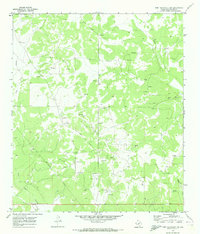
1970 Map of Fort McKavett NW
USGS Topo · Published 1973About this map
Kamar Oil Field dominates the central geography of this Schleicher County region, revealing a landscape defined by industrial extraction in the early 1970s. The presence of numerous Oil Wells and a Pumping Sta connected by an aboveground Pipeline indicates a period of active resource development. This mechanical network is overlaid upon traditional Texas ranchlands, such as the Martin Ranch and Webster Ranch, showing the literal intersection of old-line cattle country with the modern energy economy.
Find a feature on this map
14 named features on this map. Tap any name to fly to it.
Don’t see what you’re looking for? This feature index may not catch every label — zoom into the map to look around manually.
Map Details
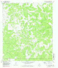
Editions of this 1970 Fort McKavett NW Map
2 editions found
Other maps of this area

1892 · San Angelo
USGS Topo · 1:125,000

1893 · Fort McKavett
USGS Topo · 1:125,000

1954 · Sonora
USGS Topo · 1:250,000

1954 · San Angelo
USGS Topo · 1:250,000

1958 · Sonora
USGS Topo · 1:250,000

1958 · San Angelo
USGS Topo · 1:250,000

1963 · Adams
USGS Topo · 1:24,000

1963 · Adams SE
USGS Topo · 1:24,000

1965 · San Angelo
USGS Topo · 1:250,000

1970 · Rocking Chair Ranch
USGS Topo · 1:24,000