
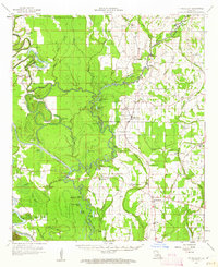
1958 Map of Fort Necessity
USGS Topo · Published 1959About this map
Boeuf River and Bayou Lafourche dominate this 1950s landscape, winding through the alluvial bottomlands of Franklin, Caldwell, and Richland Parishes. The region is defined by its complex hydrology, where numerous sloughs, brakes, and cutoff bayous like the Bayou Lafourche Cutoff create a dense network of water and wetlands. At the heart of the survey is the community of Ft Necessity, supported by local institutions like Ft Necessity Sch and Boeuf Prairie Ch.
Find a feature on this map
84 named features on this map. Tap any name to fly to it.
Don’t see what you’re looking for? This feature index may not catch every label — zoom into the map to look around manually.
Map Details
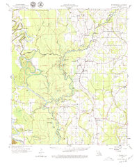
Editions of this 1958 Fort Necessity Map
3 editions found
Other maps of this area

1935 · Winnsboro
USGS Topo · 1:62,500

1935 · Alto
USGS Topo · 1:62,500

1935 · Baskinton
USGS Topo · 1:62,500

1939 · Fort Necessity
USGS Topo · 1:62,500

1940 · Monroe
USGS Topo · 1:62,500

1940 · Columbia
USGS Topo · 1:62,500

1941 · Sicily Island
USGS Topo · 1:62,500

1941 · Harrisonburg
USGS Topo · 1:62,500

1953 · Alexandria
USGS Topo · 1:250,000

1953 · Natchez
USGS Topo · 1:250,000