
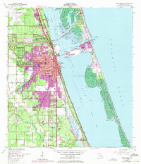
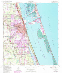
1949 Map of Fort Pierce
USGS Topo · Published 1960About this map
Fort Pierce and its coastal surroundings are documented here just after the war, showing the city's early development along the Indian River. The map highlights a complex maritime infrastructure including the North Beach Causeway, the Municipal Yacht Basin, and the US Coast Guard station at Faber Point. Inland, the economy and community life are reflected in the presence of the Florida East Coast railway, St Lucie Co Schools, and the Botanical Gardens.
Find a feature on this map
50 named features on this map. Tap any name to fly to it.
Don’t see what you’re looking for? This feature index may not catch every label — zoom into the map to look around manually.
Map Details
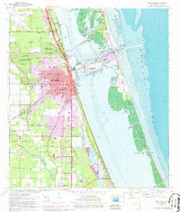
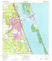
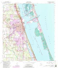
Editions of this 1949 Fort Pierce Map
6 editions found
Other maps of this area

1948 · Ankona
USGS Topo · 1:24,000

1948 · Eden
USGS Topo · 1:24,000

1948 · Indrio
USGS Topo · 1:24,000

1949 · Oslo
USGS Topo · 1:24,000

1949 · Fort Pierce NW
USGS Topo · 1:24,000

1950 · Ankona
USGS Topo · 1:24,000

1950 · Fort Pierce
USGS Topo · 1:24,000

1950 · Fort Pierce NW
USGS Topo · 1:24,000

1950 · Oslo
USGS Topo · 1:24,000

1950 · Indrio
USGS Topo · 1:24,000