
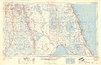
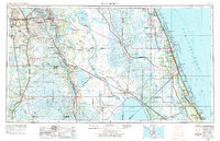
1959 Map of Fort Pierce
USGS Topo · Published 1959This historical map portrays the area of Fort Pierce in 1959, primarily covering St. Lucie County as well as portions of Polk County, Brevard County, Okeechobee County, Osceola County, Glades County, DeSoto County, Charlotte County, Martin County, Indian River County, Hardee County, and Highlands County. Featuring a scale of 1:250000, this map provides a highly detailed snapshot of the terrain, roads, buildings, counties, and historical landmarks in the Fort Pierce region at the time. Published in 1959, it is one of 3 known editions of this map due to revisions or reprints.
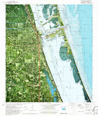
Find a feature on this map
163 named features on this map. Tap any name to fly to it.
Don’t see what you’re looking for? This feature index may not catch every label — zoom into the map to look around manually.
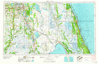
Map Details
Editions of this 1959 Fort Pierce Map
3 editions found
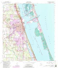
Historical Maps of Wolfolk Through Time
9 maps found
1949 Fort Pierce
St. Lucie County, FL
1950 Fort Pierce
St. Lucie County, FL
1956 Fort Pierce
St. Lucie County, FL

1958 Fort Pierce
St. Lucie County, FL
1959 Fort Pierce
St. Lucie County, FL
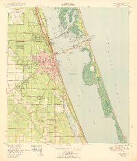
1972 Fort Pierce
St. Lucie County, FL
1981 Fort Pierce
St. Lucie County, FL
1986 Fort Pierce
St. Lucie County, FL

1988 Fort Pierce
St. Lucie County, FL