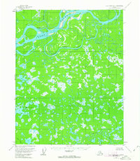
1956 Map of Fort Yukon B-6
USGS Topo · Published 1963About this map
The Yukon River and its complex network of side channels dominate this mid-century survey of the Alaskan interior. The landscape is defined by the shifting waters of the Hadweenzic River and Beaver Creek, alongside a massive system of unnamed wetlands and the concentrated Mud Lakes. Human presence is sparse and transitory, marked primarily by scattered Cabins and a lone Cabin along the riverbanks, including the named site at White Eye.
Find a feature on this map
12 named features on this map. Tap any name to fly to it.
Don’t see what you’re looking for? This feature index may not catch every label — zoom into the map to look around manually.
Map Details
Editions of this 1956 Fort Yukon B-6 Map
3 editions found
Other maps of this area

1951 · Fort Yukon
USGS Topo · 1:250,000

1951 · Beaver
USGS Topo · 1:250,000

1955 · Fort Yukon C-5
USGS Topo · 1:63,360

1956 · Fort Yukon B-6
USGS Topo · 1:63,360
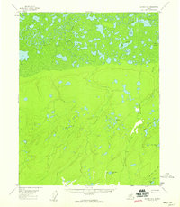
1956 · Beaver A-1
USGS Topo · 1:63,360
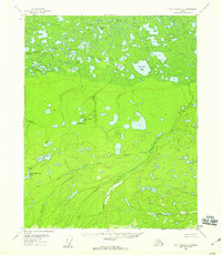
1956 · Fort Yukon A-6
USGS Topo · 1:63,360

1956 · Beaver
USGS Topo · 1:250,000

1956 · Fort Yukon C-5
USGS Topo · 1:63,360

1956 · Fort Yukon A-5
USGS Topo · 1:63,360

1956 · Beaver B-1
USGS Topo · 1:63,360