
1947 Map of Francis Mill
USGS Topo · Published 1953About this map
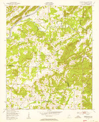
The Coosa River forms the northwestern boundary of this landscape, where the Seaboard Air Line railroad cuts across the valley. Much of the eastern portion of the sheet is dominated by the Fort Mc Clellan Military Reservation and the Anniston Ordnance Depot, marking the significant military footprint in the area shortly after the war years. Small agricultural and milling communities like Boiling Springs and Francis Mill are connected by a network of creeks, including Cane Creek and Blue Eye Creek.
Find a feature on this map
27 named features on this map. Tap any name to fly to it.
Don’t see what you’re looking for? This feature index may not catch every label — zoom into the map to look around manually.
Map Details
Editions of this 1947 Francis Mill Map
4 editions found
Other maps of this area

1889 · Springville
USGS Topo · 1:125,000

1892 · Springville
USGS Topo · 1:125,000

1900 · Anniston
USGS Topo · 1:125,000

1947 · Cox Gap
USGS Topo · 1:24,000

1947 · Eastaboga
USGS Topo · 1:24,000

1947 · Ragland
USGS Topo · 1:62,500

1947 · Ragland
USGS Topo · 1:24,000

1947 · Riverside
USGS Topo · 1:24,000

1947 · Wellington
USGS Topo · 1:24,000

1947 · Jacksonville
USGS Topo · 1:62,500