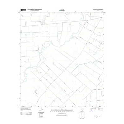
2013 Map of Francitas
USGS Topo · Published 2013About this map
Francitas centers this coastal prairie landscape, where the town site is organized by a grid including Avenue H and Avenue I. The area’s economic history is grounded in the Francitas Oil Field, which lies south of the main settlement and north of the drainage for E Carancahua Cr. Agricultural and industrial land use is evident in the straight-line county road network and the presence of Kubecka Aviation Airport. For genealogists, the Francitas Cem serves as a vital record of local families, situated near the meandering path of the creek. Small watercourses like Reed Cr and Turtle Cr cut through the lower sections of the quadrangle, illustrating the low-lying hydrology typical of this part of Jackson County near the Texas coast.
Find a feature on this map
50 named features on this map. Tap any name to fly to it.
Don’t see what you’re looking for? This feature index may not catch every label — zoom into the map to look around manually.
Map Details
Editions of this 2013 Francitas Map
This is the sole edition of this map. No revisions or reprints were ever made.
Other maps of this area

1952 · Francitas NW
USGS Topo · 1:24,000

1952 · Palacios
USGS Topo · 1:24,000

1952 · Olivia
USGS Topo · 1:24,000

1952 · Turtle Bay
USGS Topo · 1:24,000

1952 · Francitas
USGS Topo · 1:24,000

1952 · Blessing
USGS Topo · 1:24,000

1952 · Francitas NE
USGS Topo · 1:24,000

1952 · Midfield
USGS Topo · 1:24,000

1952 · La Ward
USGS Topo · 1:24,000

1953 · Beeville
USGS Topo · 1:250,000