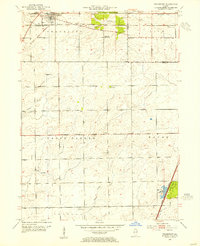
1953 Map of Frankfort
USGS Topo · Published 1955About this map
The Old Indian Boundary and the historic Sauk Trail cut across the landscape of Frankfort, marking ancient travel corridors that predated the mid-century suburban expansion of Lincoln Estates. This 1953 revision reveals a rural township structure transitioning toward modern development, yet it remains anchored by generational landmarks like the Green Garden Sch and several country burial grounds, including Pleasant Hill Cem and Twining Cem. The industrial and transit skeleton of the region is defined by the Elgin Joliet and Eastern railroad, which skirts the northern edge of the village.
Find a feature on this map
33 named features on this map. Tap any name to fly to it.
Don’t see what you’re looking for? This feature index may not catch every label — zoom into the map to look around manually.
Map Details
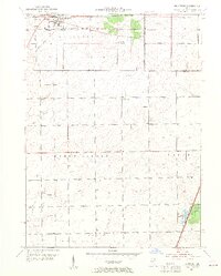
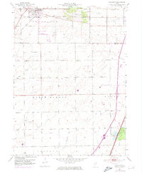
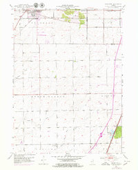
Editions of this 1953 Frankfort Map
4 editions found
Other maps of this area

1890 · Des Plaines
USGS Topo · 1:62,500

1892 · Calumet
USGS Topo · 1:62,500

1893 · Calumet
USGS Topo · 1:62,500

1894 · Des Plaines
USGS Topo · 1:62,500

1900 · Des Plaines
USGS Topo · 1:62,500

1900 · Calumet
USGS Topo · 1:62,500

1901 · Calumet
USGS Topo · 1:62,500

1901 · Des Plaines
USGS Topo · 1:62,500

1929 · Tinley Park
USGS Topo · 1:24,000

1929 · Brisbane
USGS Topo · 1:24,000