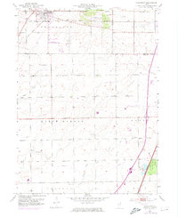
1953 Map of Frankfort
USGS Topo · Published 1974About this map
Frankfort sits at the intersection of a mid-century agricultural landscape and the expanding transportation corridors of the Chicago suburbs. The map reveals the path of the Old Indian Boundary and the Sauk Trail, historical transit routes that continue to define the local geography alongside the Elgin Joliet and Eastern railroad. The southern portion of the quadrangle is largely defined by the rural townships of Green Garden and Monee, where small family and community burial grounds like Twining Cem and Union Cem dot the landscape near Prairie Creek and Forked Creek.
Find a feature on this map
40 named features on this map. Tap any name to fly to it.
Don’t see what you’re looking for? This feature index may not catch every label — zoom into the map to look around manually.
Map Details
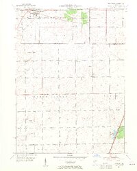
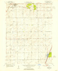
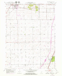
Editions of this 1953 Frankfort Map
4 editions found
Other maps of this area

1890 · Des Plaines
USGS Topo · 1:62,500

1892 · Calumet
USGS Topo · 1:62,500

1893 · Calumet
USGS Topo · 1:62,500

1894 · Des Plaines
USGS Topo · 1:62,500

1900 · Des Plaines
USGS Topo · 1:62,500

1900 · Calumet
USGS Topo · 1:62,500

1901 · Calumet
USGS Topo · 1:62,500

1901 · Des Plaines
USGS Topo · 1:62,500

1929 · Tinley Park
USGS Topo · 1:24,000

1929 · Brisbane
USGS Topo · 1:24,000