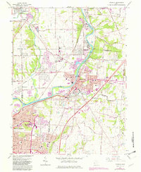
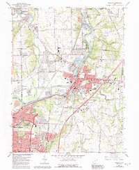
1965 Map of Franklin
USGS Topo · Published 1982About this map
The Great Miami River corridor serves as the industrial and social backbone of this region during the mid-1960s, linking the established centers of Franklin, Germantown, and Middletown. A notable concentration of institutional and scientific activity appears at the Mound Facility Dept of Energy, situated near the prehistoric Indian Mound and Mound State Park. The landscape is a mix of dense residential plats like Rickard Acres and the summer resort character of Chautauqua, set against the heavy rail infrastructure of Conrail and the Baltimore and Ohio railroads. Education and faith are central to these communities, evidenced by numerous local institutions such as Tapscott Ch, Schenck Sch, and Fenwick High Sch, while local industry is marked by several Gravel Pits and a substantial Powerplant along the river.
Find a feature on this map
63 named features on this map. Tap any name to fly to it.
Don’t see what you’re looking for? This feature index may not catch every label — zoom into the map to look around manually.
Map Details
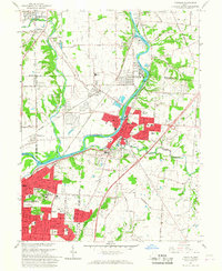
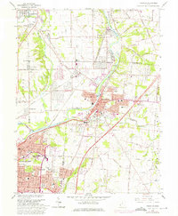
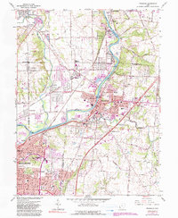
Editions of this 1965 Franklin Map
5 editions found
Other maps of this area

1904 · Mason
USGS Topo · 1:62,500

1906 · Mason
USGS Topo · 1:62,500

1908 · Miamisburg
USGS Topo · 1:62,500

1913 · Waynesville
USGS Topo · 1:62,500

1914 · Morrow
USGS Topo · 1:62,500

1915 · Waynesville
USGS Topo · 1:62,500

1916 · Morrow
USGS Topo · 1:62,500

1951 · Franklin
USGS Topo · 1:24,000

1953 · Cincinnati
USGS Topo · 1:250,000

1955 · Monroe
USGS Topo · 1:24,000