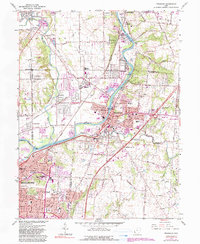
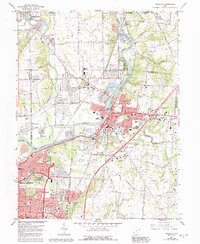
1965 Map of Franklin
USGS Topo · Published 1990About this map
The Great Miami River corridor serves as the industrial and residential spine of this mid-1960s landscape, connecting several distinct valley communities. In Franklin, the river's path is flanked by civic landmarks like City Hall and Municipal Park, while the Mound Facility Dept of Energy to the north reflects the era's Cold War industrial footprint. The surrounding terrain is a mix of expanding post-war housing like Rickard Acres and older rural anchors, including the historic Tapscott Ch and Stettler Ch.
Find a feature on this map
44 named features on this map. Tap any name to fly to it.
Don’t see what you’re looking for? This feature index may not catch every label — zoom into the map to look around manually.
Map Details
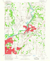
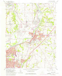
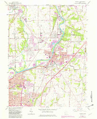
Editions of this 1965 Franklin Map
5 editions found
Other maps of this area

1904 · Mason
USGS Topo · 1:62,500

1906 · Mason
USGS Topo · 1:62,500

1908 · Miamisburg
USGS Topo · 1:62,500

1913 · Waynesville
USGS Topo · 1:62,500

1914 · Morrow
USGS Topo · 1:62,500

1915 · Waynesville
USGS Topo · 1:62,500

1916 · Morrow
USGS Topo · 1:62,500

1951 · Franklin
USGS Topo · 1:24,000

1953 · Cincinnati
USGS Topo · 1:250,000

1955 · Monroe
USGS Topo · 1:24,000