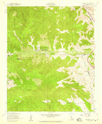
1958 Map of Frazier Mtn
USGS Topo · Published 1959About this map
Frazier Park serves as a central mountain community during the late 1950s, situated at the junction of several high-altitude valleys. The landscape is defined by the massive presence of Frazier Mountain, which reaches a peak marked by the Frazier Mtn Lookout. This era of the mountain range shows a transition between ranching operations and early mountain residential developments like Lake of the Woods and Lebec Oaks Ranch.
Find a feature on this map
35 named features on this map. Tap any name to fly to it.
Don’t see what you’re looking for? This feature index may not catch every label — zoom into the map to look around manually.
Map Details
Editions of this 1958 Frazier Mtn Map
4 editions found
Other maps of this area

1903 · Mt. Pinos
USGS Topo · 1:125,000

1903 · Tejon
USGS Topo · 1:125,000

1933 · Gorman
USGS Topo · 1:24,000

1938 · Gorman
USGS Topo · 1:24,000

1942 · Tecuya Creek
USGS Topo · 1:24,000

1942 · Frazier Mountain
USGS Topo · 1:24,000

1943 · Cuddy Valley
USGS Topo · 1:24,000

1943 · Lockwood Valley
USGS Topo · 1:24,000
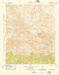
1944 · Pleito Hills
USGS Topo · 1:31,680
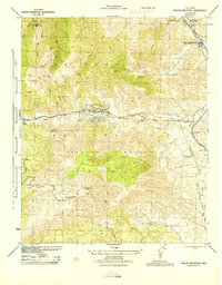
1944 · Frazier Mountain
USGS Topo · 1:31,680