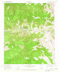
1958 Map of Frazier Mtn
USGS Topo · Published 1965About this map
Frazier Park sits at the intersection of geology and history in the high country where the San Andreas Rift carves through the landscape. This 1958 revision shows the developed mountain communities of Lake of the Woods and Lebec Oaks Ranch amidst the rugged elevations of Frazier Mountain and Tecuya Mtn. To the northeast, the site of Old Fort Tejon and the Fort Tejon State Historical Mon mark the strategic importance of Tejon Pass, long a vital corridor for travel between the Central Valley and Southern California. The map records a rural economy of isolated agricultural outposts like Mesa Valley Farm and Maxey Ranch, alongside the industry of the Lebec Pump Sta and the Black Bob Mine tucked into the canyons of the Los Padres National Forest.
Find a feature on this map
33 named features on this map. Tap any name to fly to it.
Don’t see what you’re looking for? This feature index may not catch every label — zoom into the map to look around manually.
Map Details
Editions of this 1958 Frazier Mtn Map
4 editions found
Other maps of this area

1903 · Mt. Pinos
USGS Topo · 1:125,000

1903 · Tejon
USGS Topo · 1:125,000

1933 · Gorman
USGS Topo · 1:24,000

1938 · Gorman
USGS Topo · 1:24,000

1942 · Tecuya Creek
USGS Topo · 1:24,000

1942 · Frazier Mountain
USGS Topo · 1:24,000

1943 · Cuddy Valley
USGS Topo · 1:24,000

1943 · Lockwood Valley
USGS Topo · 1:24,000
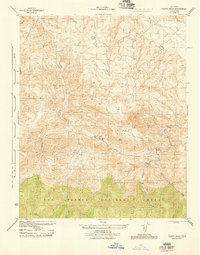
1944 · Pleito Hills
USGS Topo · 1:31,680
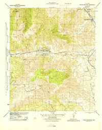
1944 · Frazier Mountain
USGS Topo · 1:31,680