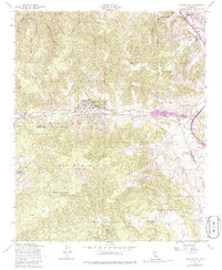
1958 Map of Frazier Mtn
USGS Topo · Published 1986About this map
Frazier Park serves as a central point of settlement in this high-altitude landscape, situated where the San Andreas Rift Zone carves its path through the mountains. This mid-century view captures the transition of the region from a focus on natural resource extraction to one of preservation and travel. The presence of the Black Bob Mine and Gold Dust Mine reflects the area's mineral history, while agricultural outposts like Lebec Oaks Ranch and Mesa Valley Farm occupy the lower basins of Cuddy Valley and Castac Valley.
Find a feature on this map
30 named features on this map. Tap any name to fly to it.
Don’t see what you’re looking for? This feature index may not catch every label — zoom into the map to look around manually.
Map Details
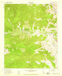
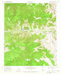
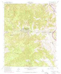
Editions of this 1958 Frazier Mtn Map
4 editions found
Other maps of this area

1903 · Mt. Pinos
USGS Topo · 1:125,000

1903 · Tejon
USGS Topo · 1:125,000

1933 · Gorman
USGS Topo · 1:24,000

1938 · Gorman
USGS Topo · 1:24,000

1942 · Tecuya Creek
USGS Topo · 1:24,000

1942 · Frazier Mountain
USGS Topo · 1:24,000

1943 · Cuddy Valley
USGS Topo · 1:24,000

1943 · Lockwood Valley
USGS Topo · 1:24,000
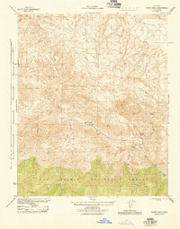
1944 · Pleito Hills
USGS Topo · 1:31,680
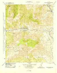
1944 · Frazier Mountain
USGS Topo · 1:31,680