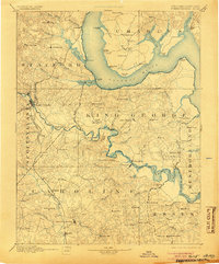
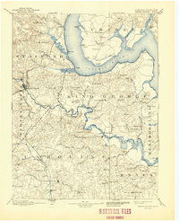
1894 Map of Fredericksburg
USGS Topo · Published 1905About this map
The Rappahannock River and Potomac River define the tidewater landscape of this late nineteenth-century survey, which details a region heavily reliant on riverine transport and rural commerce. Along the banks of the Rappahannock, historical centers like Port Royal and Port Conway face one another, while further downstream, Saunders Wharf and Leedstown mark critical shipping points for the local agricultural economy. The inland terrain is dotted with small crossroads and landmarks such as the Rappahannock Academy, Grace Church, and local gathering spots like Nindes Store.
Find a feature on this map
116 named features on this map. Tap any name to fly to it.
Don’t see what you’re looking for? This feature index may not catch every label — zoom into the map to look around manually.
Map Details
Editions of this 1894 Fredericksburg Map
10 editions found

1894 edition
16.3 x 19.72 inches
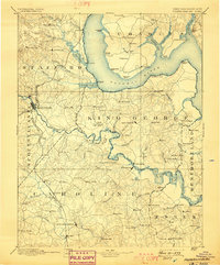
1898 edition
16.5 x 19.9 inches
1905 edition
16.5 x 19.8 inches
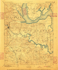
1910 edition
16.4 x 19.8 inches
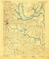
1916 edition
16.4 x 19.9 inches
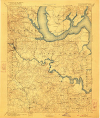
1922 edition
16.4 x 19.4 inches
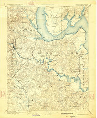
1926 edition
16.5 x 19.9 inches
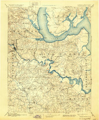
1930 edition
16.5 x 19.9 inches
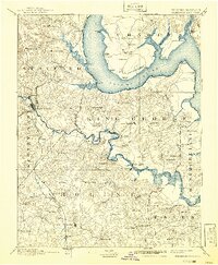
1941 edition
16.44 x 19.96 inches
1944 edition
17 x 20.9 inches
Other maps of this area

1887 · Spottsylvania
USGS Topo · 1:125,000

1889 · Fredericksburg
USGS Topo · 1:125,000

1890 · Goochland
USGS Topo · 1:125,000

1890 · Mt. Vernon
USGS Topo · 1:125,000

1891 · Mt. Vernon
USGS Topo · 1:125,000

1892 · Fredericksburg
USGS Topo · 1:125,000

1892 · Spottsylvania
USGS Topo · 1:125,000

1892 · Goochland
USGS Topo · 1:125,000

1892 · Brandywine
USGS Topo · 1:62,500

1892 · Montross
USGS Topo · 1:62,500