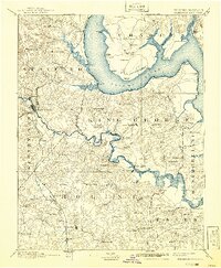
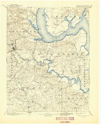
1894 Map of Fredericksburg
USGS Topo · Published 1941About this map
The Rappahannock River and Potomac River define this late 19th-century landscape, carving deep into the Virginia and Maryland tidewater region. In the years before massive suburban expansion, the area is characterized by a series of riverfront landings and small agricultural centers like Port Royal and Port Conway. The Richmond Fredericksburg and Potomac RR provides the primary land artery through the western reaches, connecting the busy hub of Fredericksburg to northern corridors.
Find a feature on this map
111 named features on this map. Tap any name to fly to it.
Don’t see what you’re looking for? This feature index may not catch every label — zoom into the map to look around manually.
Map Details
Editions of this 1894 Fredericksburg Map
10 editions found

1894 edition
16.3 x 19.72 inches
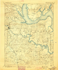
1898 edition
16.5 x 19.9 inches
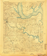
1905 edition
16.5 x 19.8 inches
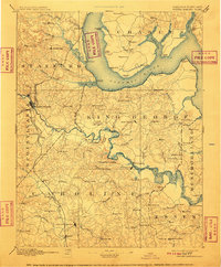
1910 edition
16.4 x 19.8 inches
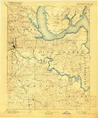
1916 edition
16.4 x 19.9 inches
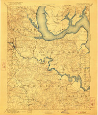
1922 edition
16.4 x 19.4 inches
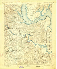
1926 edition
16.5 x 19.9 inches
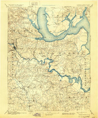
1930 edition
16.5 x 19.9 inches
1941 edition
16.44 x 19.96 inches
1944 edition
17 x 20.9 inches
Other maps of this area

1887 · Spottsylvania
USGS Topo · 1:125,000

1889 · Fredericksburg
USGS Topo · 1:125,000

1890 · Goochland
USGS Topo · 1:125,000

1890 · Mt. Vernon
USGS Topo · 1:125,000

1891 · Mt. Vernon
USGS Topo · 1:125,000

1892 · Fredericksburg
USGS Topo · 1:125,000

1892 · Spottsylvania
USGS Topo · 1:125,000

1892 · Goochland
USGS Topo · 1:125,000

1892 · Brandywine
USGS Topo · 1:62,500

1892 · Montross
USGS Topo · 1:62,500