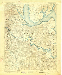
1894 Map of Fredericksburg
USGS Topo · Published 1926This historical map portrays the area of Fredericksburg in 1894, primarily covering Caroline County as well as portions of Caroline County and Maryland. Featuring a scale of 1:125000, this map provides a highly detailed snapshot of the terrain, roads, buildings, counties, and historical landmarks in the Fredericksburg region at the time. Published in 1926, it is one of 10 known editions of this map due to revisions or reprints.
Map Details
Editions of this 1894 Fredericksburg Map
10 editions found
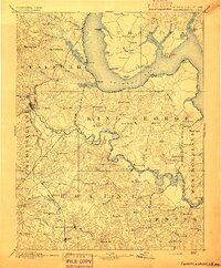
1894 edition
16.3 x 19.72 inches
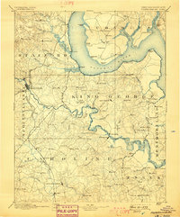
1898 edition
16.5 x 19.9 inches
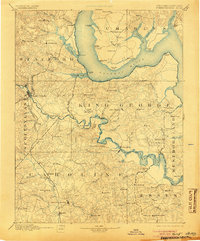
1905 edition
16.5 x 19.8 inches
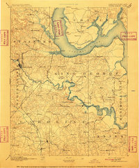
1910 edition
16.4 x 19.8 inches
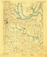
1916 edition
16.4 x 19.9 inches
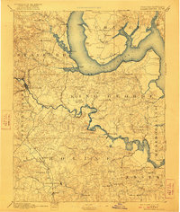
1922 edition
16.4 x 19.4 inches

1926 edition
16.5 x 19.9 inches
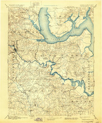
1930 edition
16.5 x 19.9 inches
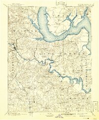
1941 edition
16.44 x 19.96 inches
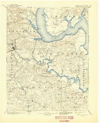
1944 edition
17 x 20.9 inches
Historical Maps of Caroline County Through Time
27 maps found
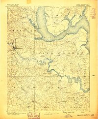
1889 Fredericksburg
Caroline County, VA
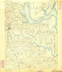
1892 Fredericksburg
Caroline County, VA

1894 Fredericksburg
Caroline County, VA
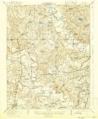
1918 Doswell
Caroline County, VA
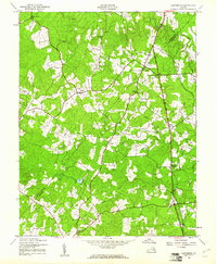
1942 Ladysmith
Caroline County, VA
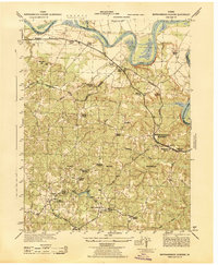
1942 Rappahannock Academy
Caroline County, VA
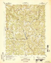
1942 Upper Zion
Caroline County, VA
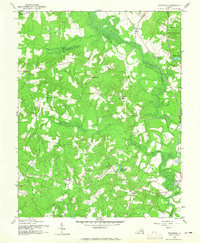
1942 Woodford
Caroline County, VA
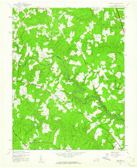
1943 Hewlett
Caroline County, VA
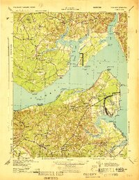
1944 Nanjemoy
Caroline County, VA
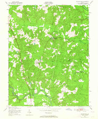
1949 Ruther Glen
Caroline County, VA
1951 Penola
Caroline County, VA
1951 Ruther Glen
Caroline County, VA
1951 Sparta
Caroline County, VA
1952 Rappahannock Academy
Caroline County, VA
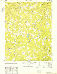
1952 Upper Zion
Caroline County, VA
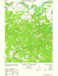
1964 Rappahannock Academy
Caroline County, VA
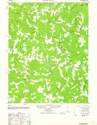
1964 Upper Zion
Caroline County, VA
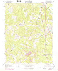
1966 Ladysmith
Caroline County, VA
1968 Sparta
Caroline County, VA
1968 Supply
Caroline County, VA
1969 Hewlett
Caroline County, VA
1969 Penola
Caroline County, VA
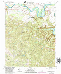
1969 Rappahannock Academy
Caroline County, VA
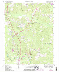
1969 Ruther Glen
Caroline County, VA
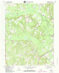
1969 Woodford
Caroline County, VA
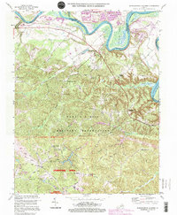
1994 Rappahannock Academy
Caroline County, VA
Featured Locations
- Caroline County, MD
- Caroline County, VA
- Charles County, MD
- Essex County, VA
- King George County, VA
- Spotsylvania County, VA
- Stafford County, VA
- Westmoreland County, VA
- Maryland
- Virginia