
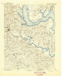
1894 Map of Fredericksburg
USGS Topo · Published 1894About this map
The Potomac River and Rappahannock River dominate this late 19th-century landscape, carving deep tidal necks and points across several Virginia counties. At the head of navigation on the Rappahannock, the city of Fredericksburg stands as a primary hub for the Richmond Fredericksburg and railroad, which parallels the river as it moves south toward Stafford. The surrounding countryside is defined by an intricate network of landings and plantations, where the water provided the primary means of transport for agricultural goods before the expansion of rail.
Find a feature on this map
119 named features on this map. Tap any name to fly to it.
Don’t see what you’re looking for? This feature index may not catch every label — zoom into the map to look around manually.
Map Details
Editions of this 1894 Fredericksburg Map
10 editions found
1894 edition
16.3 x 19.72 inches
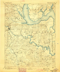
1898 edition
16.5 x 19.9 inches
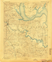
1905 edition
16.5 x 19.8 inches
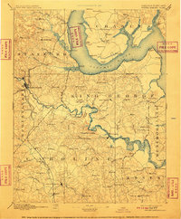
1910 edition
16.4 x 19.8 inches
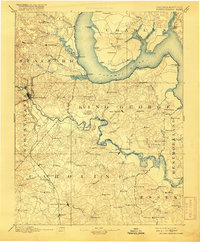
1916 edition
16.4 x 19.9 inches
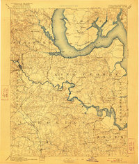
1922 edition
16.4 x 19.4 inches
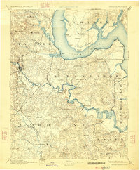
1926 edition
16.5 x 19.9 inches
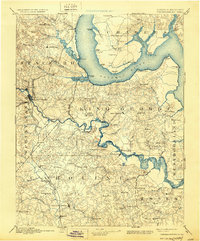
1930 edition
16.5 x 19.9 inches
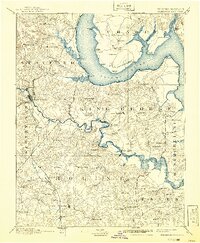
1941 edition
16.44 x 19.96 inches
1944 edition
17 x 20.9 inches
Other maps of this area

1887 · Spottsylvania
USGS Topo · 1:125,000

1889 · Fredericksburg
USGS Topo · 1:125,000

1890 · Goochland
USGS Topo · 1:125,000

1890 · Mt. Vernon
USGS Topo · 1:125,000

1891 · Mt. Vernon
USGS Topo · 1:125,000

1892 · Fredericksburg
USGS Topo · 1:125,000

1892 · Spottsylvania
USGS Topo · 1:125,000

1892 · Goochland
USGS Topo · 1:125,000

1892 · Brandywine
USGS Topo · 1:62,500

1892 · Montross
USGS Topo · 1:62,500