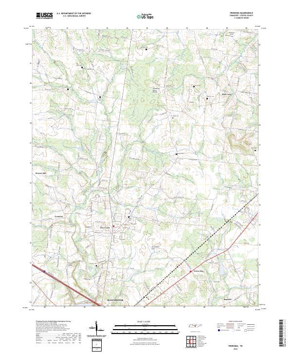
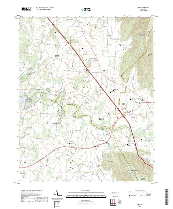
2022 Map of Fredonia
USGS Topo · Published 2022About this map
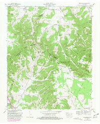
The Tennessee Valley Divide cuts through this portion of Coffee County, separating complex drainage patterns where the Duck River and Parks Cr carve through the landscape. The geography is defined by a transition from the lower elevations of Greenbrier Flat to the higher ground of Flat Mtn, a terrain that has historically dictated the placement of small agricultural communities and family homesteads. Early industry is marked by the presence of Strauss Mill on Muddy Br, while the southeastern corner is influenced by the Louisville and Nashville RR corridor near Forest Mill. Local heritage is preserved in numerous family and community burial grounds, including Ogles Cem, Welker Cem, and Carden Cem, which anchor the rural settlements of Fredonia and New Union. The abundance of water features like Boiling Spring Br and Goodman Spring Br underscores the area's perennial reliance on its natural springs.
Find a feature on this map
144 named features on this map. Tap any name to fly to it.
Don’t see what you’re looking for? This feature index may not catch every label — zoom into the map to look around manually.
Map Details
Editions of this 2022 Fredonia Map
This is the sole edition of this map. No revisions or reprints were ever made.
Historical Maps of Mud Creek Through Time
20 maps found
1913 Hollow Springs
Coffee County, TN

1936 Alto
Coffee County, TN
1936 Beech Grove
Coffee County, TN

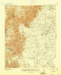
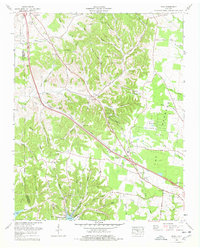
1936 Fredonia
Coffee County, TN

1936 Noah
Coffee County, TN

1936 Ovoca
Coffee County, TN

1941 Ovoca
Coffee County, TN
1947 Alto
Coffee County, TN
1953 Beechgrove
Coffee County, TN
1956 Fredonia
Coffee County, TN
1956 Noah
Coffee County, TN
1962 Ovoca
Coffee County, TN
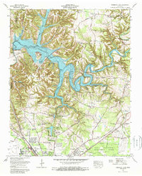
1972 Ovoca
Coffee County, TN
1976 Noah
Coffee County, TN
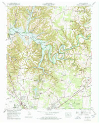
1976 Normandy Lake
Coffee County, TN
2022 Alto
Coffee County, TN
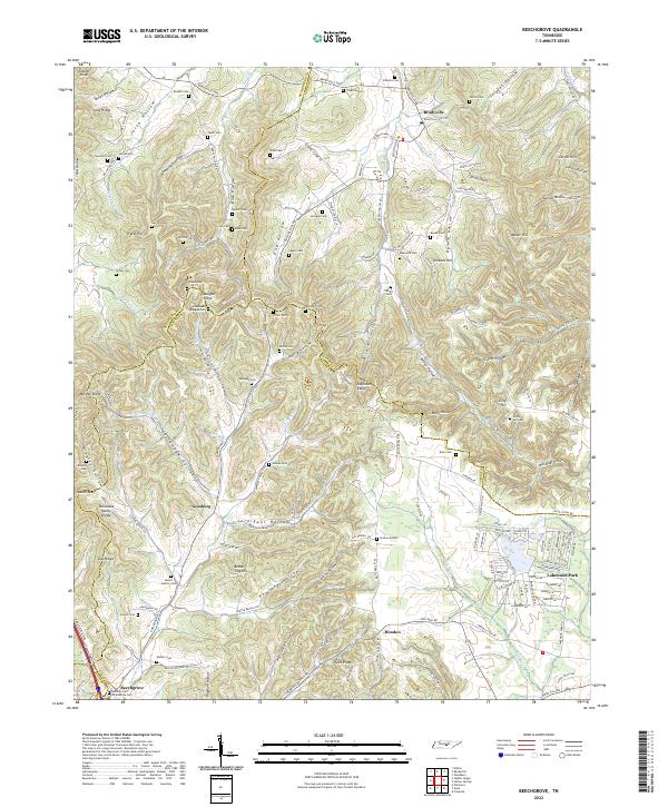
2022 Beechgrove
Coffee County, TN
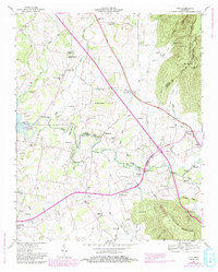
2022 Fredonia
Coffee County, TN
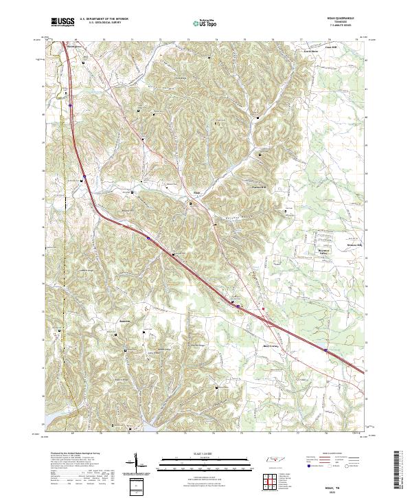
2022 Noah
Coffee County, TN
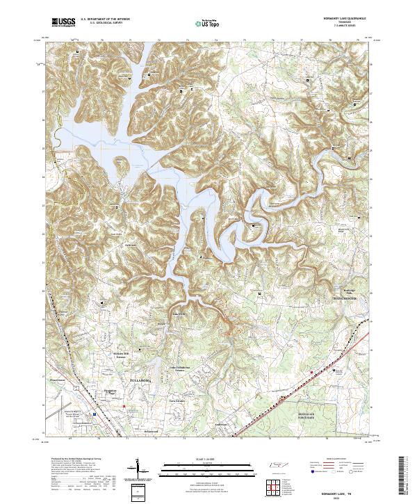
2022 Normandy Lake
Coffee County, TN