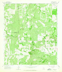
1962 Map of Fredonia
USGS Topo · Published 1965About this map
The community of Fredonia sits at the western edge of this 1960s survey, where the borders of McCulloch, Mason, and San Saba counties meet in a landscape defined by intermittent streams and cattle-country terrain. This area of Central Texas shows a sparse settlement pattern typical of the era, centered on the drainage of Deer Creek and Lost Creek. Local history and genealogy interest is anchored by landmarks such as the Union Band Ch and the Deer Creek Cem, alongside the Water Valley Cem situated further south.
Find a feature on this map
20 named features on this map. Tap any name to fly to it.
Don’t see what you’re looking for? This feature index may not catch every label — zoom into the map to look around manually.
Map Details
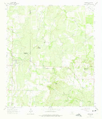
Editions of this 1962 Fredonia Map
2 editions found
Other maps of this area

1885 · San Saba
USGS Topo · 1:125,000

1887 · Llano
USGS Topo · 1:125,000

1887 · Mason
USGS Topo · 1:125,000

1894 · Brady
USGS Topo · 1:125,000

1894 · Mason
USGS Topo · 1:125,000

1894 · San Saba
USGS Topo · 1:125,000

1894 · Llano
USGS Topo · 1:125,000

1904 · Llano
USGS Topo · 1:125,000

1909 · Llano
USGS Topo · 1:125,000

1918 · Llano
USGS Topo · 1:125,000