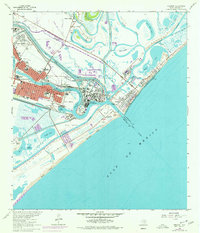
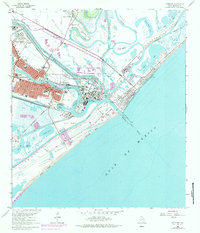
1964 Map of Freeport
USGS Topo · Published 1977About this map
Industrial expansion and coastal infrastructure define this mid-century look at the Texas Gulf Coast. The Freeport city center is shown in detail, flanked by the residential blocks of Velasco Heights and the maritime activities of Brazosport Turning Basin. A massive Chemical Plant sits at the heart of the waterway network, connected by the Dow Barge Canal and the Missouri Pacific railroad.
Find a feature on this map
47 named features on this map. Tap any name to fly to it.
Don’t see what you’re looking for? This feature index may not catch every label — zoom into the map to look around manually.
Map Details
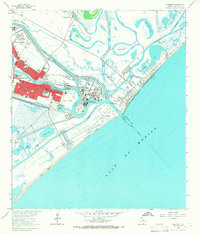
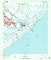
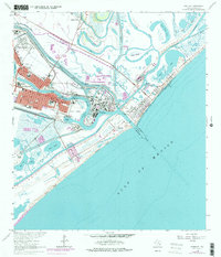
Editions of this 1964 Freeport Map
5 editions found
Other maps of this area

1943 · Oyster Creek
USGS Topo · 1:31,680

1943 · Jones Creek
USGS Topo · 1:31,680

1943 · Freeport
USGS Topo · 1:31,680

1943 · Cedar Lakes East
USGS Topo · 1:24,000

1943 · Christmas Point
USGS Topo · 1:24,000

1943 · Snipe
USGS Topo · 1:31,680

1950 · Houston
USGS Topo · 1:250,000

1951 · Bay City
USGS Topo · 1:250,000

1956 · Houston
USGS Topo · 1:250,000

1956 · Bay City
USGS Topo · 1:250,000