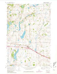
1965 Map of Freeport
USGS Topo · Published 1981About this map
Glacial lake basins and early township boundaries define this mid-1960s landscape of Stearns County, primarily within Millwood and Oak. The village of Freeport serves as a central hub, situated along the Great Northern rail line and adjacent to Freeport Lake. To the north, the settlement of St Rosa sits amidst a high concentration of water bodies including the elongated Long Lake and the broader Kings Lake.
Find a feature on this map
37 named features on this map. Tap any name to fly to it.
Don’t see what you’re looking for? This feature index may not catch every label — zoom into the map to look around manually.
Map Details
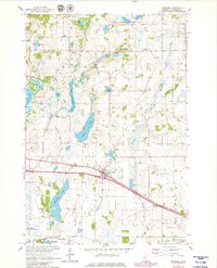
Editions of this 1965 Freeport Map
3 editions found
Other maps of this area

1950 · Swanville
USGS Topo · 1:62,500

1953 · Saint Cloud
USGS Topo · 1:250,000

1957 · Saint Cloud
USGS Topo · 1:250,000

1958 · Saint Cloud
USGS Topo · 1:250,000

1965 · Albany
USGS Topo · 1:24,000

1965 · Farming
USGS Topo · 1:24,000

1965 · Greenwald
USGS Topo · 1:24,000

1965 · Melrose
USGS Topo · 1:24,000

1965 · Freeport
USGS Topo · 1:24,000

1965 · St Martin
USGS Topo · 1:24,000