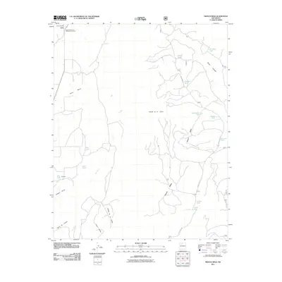
2011 Map of French Mesa
USGS Topo · Published 2011About this map
Llaves serves as the primary hub of this Rio Arriba County landscape, situated near the Llaves Post Office and the significant Nogales Cliff House Archaeological District. The geography is defined by the prominent French Mesa, which divides the drainage systems of the Rio Gallina and Arroyo Blanco.
Find a feature on this map
27 named features on this map. Tap any name to fly to it.
Don’t see what you’re looking for? This feature index may not catch every label — zoom into the map to look around manually.
Map Details
Editions of this 2011 French Mesa Map
This is the sole edition of this map. No revisions or reprints were ever made.
Other maps of this area
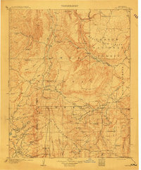
1909 · Gallina
USGS Topo · 1:125,000
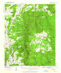
1940 · Cuba
USGS Topo · 1:62,500
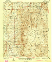
1943 · Cuba
USGS Topo · 1:62,500
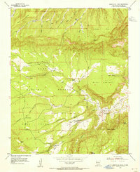
1953 · Arroyo Del Agua
USGS Topo · 1:24,000
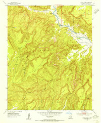
1953 · Laguna Peak
USGS Topo · 1:24,000
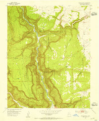
1953 · Navajo Peak
USGS Topo · 1:24,000
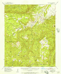
1953 · Youngsville
USGS Topo · 1:62,500

1954 · Aztec
USGS Topo · 1:250,000
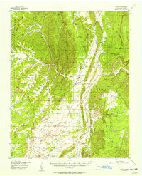
1955 · Llaves
USGS Topo · 1:62,500
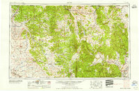
1958 · Aztec
USGS Topo · 1:250,000