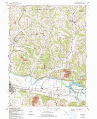
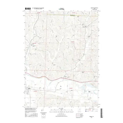
1961 Map of Fresno
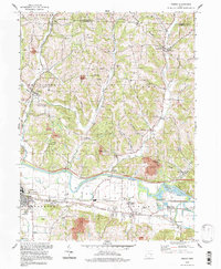
USGS Topo · Published 1978About this map
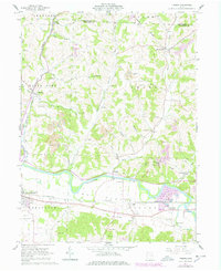
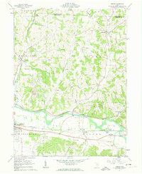
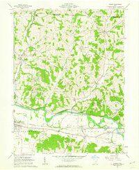
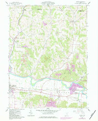
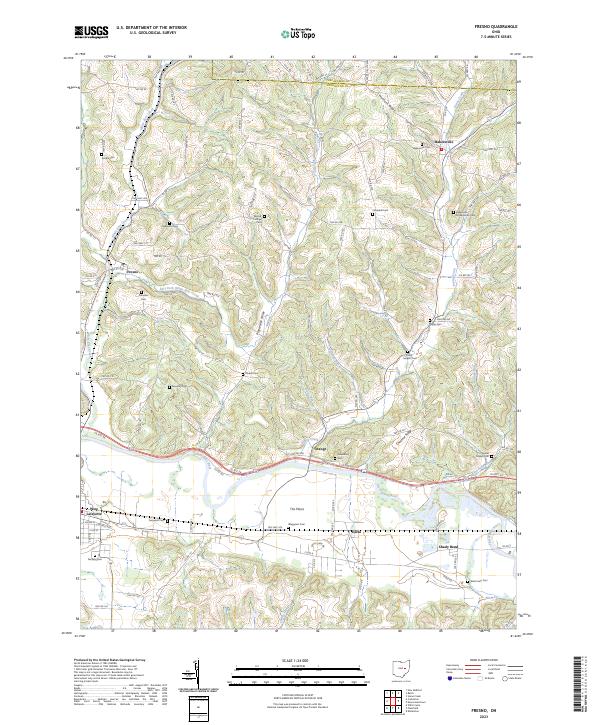
The Plains spread across the southern portion of this landscape, where the Tuscarawas River flows through a broad valley punctuated by the industrial presence of strip mines and gravel pits. The geography is defined by a dense network of family-named landmarks and rural institutions, including Woods College Cem and the Old Stone Fort near the riverbank. This 1960s-era record, updated with mid-1970s land use, shows a transition from traditional agricultural settlements like Pearl (Chili Sta) and Bakersville to a modern landscape marked by a Drive-in Theater and expanding infrastructure in West Lafayette.
Find a feature on this map
55 named features on this map. Tap any name to fly to it.
Don’t see what you’re looking for? This feature index may not catch every label — zoom into the map to look around manually.
Map Details
Editions of this 1961 Fresno Map
4 editions found
Historical Maps of West Lafayette Through Time
8 maps found
Featured Locations
- Crawford Township, OH
- White Eyes Township, OH
- Lafayette Township, OH
- West Lafayette, Lafayette Township
- Powell, Adams Township