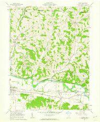
1961 Map of Fresno
USGS Topo · Published 1963About this map
The Plains stretch across the southern reaches of this 1961 survey, where the Tuscarawas River winds past the industrial and transport hubs of West Lafayette and Isleta. The landscape transitions from these flat river bottoms into the dissected uplands of Progressive Valley and the ridges of Adams and White Eyes townships. The local economy is visibly shaped by both agriculture and industry, with numerous strip mines dotting the hillsides while the Pennsylvania railroad tracks parallel the river. Genealogists will find a dense concentration of family and community burial sites, including Clabboard Cem, Woods College Cem, and Ferguson Cem. Notable landmarks such as the Old Stone Fort and the Grange Hall appear alongside mid-century developments like the Drive-in Theater and Tri-City Airpark, capturing a moment when traditional rural settlements like Bakersville and Fresno coexisted with modern infrastructure.
Find a feature on this map
52 named features on this map. Tap any name to fly to it.
Don’t see what you’re looking for? This feature index may not catch every label — zoom into the map to look around manually.
Map Details
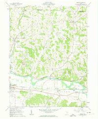
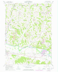
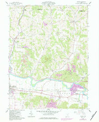
Editions of this 1961 Fresno Map
4 editions found
Other maps of this area

1908 · Conesville
USGS Topo · 1:62,500

1909 · Cambridge
USGS Topo · 1:62,500

1910 · Conesville
USGS Topo · 1:62,500

1911 · Newcomerstown
USGS Topo · 1:62,500

1912 · Cambridge
USGS Topo · 1:62,500

1913 · Newcomerstown
USGS Topo · 1:62,500

1913 · Coshocton
USGS Topo · 1:62,500

1915 · Coshocton
USGS Topo · 1:62,500

1943 · Coshocton
USGS Topo · 1:62,500

1943 · Newcomerstown
USGS Topo · 1:62,500